Size of this preview:
800 × 547 pixels. Other resolutions:
320 × 219 pixels |
640 × 437 pixels |
1,024 × 700 pixels |
1,130 × 772 pixels.
Original file (1,130 × 772 pixels, file size: 375 KB, MIME type: image/jpeg)
| This is a file from the
Wikimedia Commons. Information from its
description page there is shown below. Commons is a freely licensed media file repository. You can help. |
Summary
| Description |
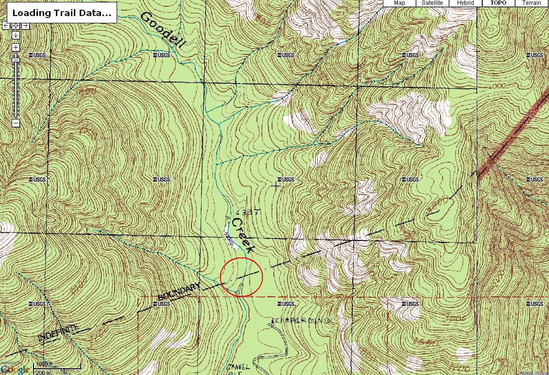
English: Topo map of Goodell Creek in North Cascades National Park and Ross Lake NRA. The 600 foot contour passes just downstream of the boundary, shown by the dashed line. |
| Source | Author |
| Author | United States Geological Survey |
Licensing
This image is in the
public domain in the United States because it only contains materials that originally came from the
United States Geological Survey, an agency of the
United States Department of the Interior. For more information, see
the official USGS copyright policy.
|
Original upload log
Transferred from en.wikipedia to Commons using For the Common Good.
The original description page was
here. All following user names refer to en.wikipedia.
| Date/Time | Dimensions | User | Comment |
|---|---|---|---|
| 17:07, 8 February 2008 | 1,130 × 772 (383,488 bytes) | w:en:AshidMapantz ( talk | contribs) | (Topo map of Goodell Creek in North Cascades National Park and Ross Lake NRA. The 600 foot contour passes just downstream of the boundary, shown by the dashed line.) |
File history
Click on a date/time to view the file as it appeared at that time.
| Date/Time | Thumbnail | Dimensions | User | Comment | |
|---|---|---|---|---|---|
| current | 06:14, 24 July 2013 |
| 1,130 × 772 (375 KB) | Addihockey10 | Transferred from en.wikipedia: see original upload log above |
File usage
The following pages on the English Wikipedia use this file (pages on other projects are not listed):