Size of this preview:
544 × 599 pixels. Other resolutions:
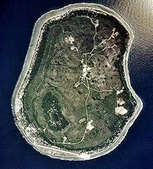
218 × 240 pixels |
436 × 480 pixels |
1,021 × 1,125 pixels.
Original file (1,021 × 1,125 pixels, file size: 326 KB, MIME type: image/jpeg)
| This is a file from the
Wikimedia Commons. Information from its
description page there is shown below. Commons is a freely licensed media file repository. You can help. |
|
Summary
| Description |
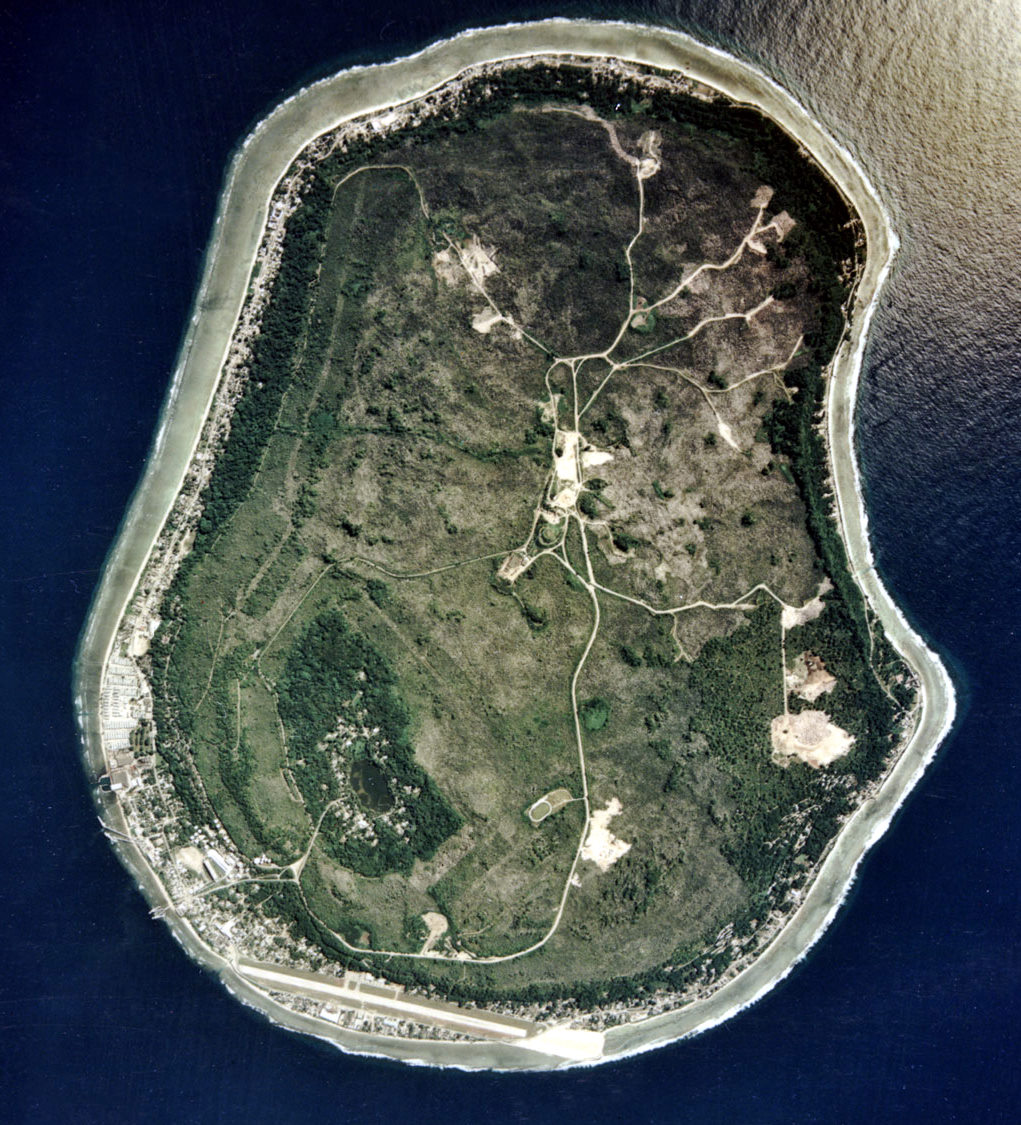
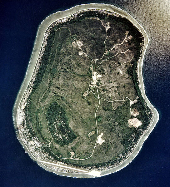
English: Nauru satellite picture |
| Date | |
| Source | Image Library. |
| Author | ARM |
Licensing
This photograph was produced by the
Atmospheric Radiation Measurement Program.
Their site states:
|
| Annotations | This image is annotated: View the annotations at Commons |
File history
Click on a date/time to view the file as it appeared at that time.
| Date/Time | Thumbnail | Dimensions | User | Comment | |
|---|---|---|---|---|---|
| current | 13:51, 17 April 2010 |
| 1,021 × 1,125 (326 KB) | Kleinstein95 | cropped |
| 14:25, 5 May 2005 |
 | 1,115 × 1,217 (339 KB) | Jon Harald Søby | Nauru satellite photo from [http://arm.gov ARM.gov] {{PD-USGov}} Category:Nauru |
File usage
The following pages on the English Wikipedia use this file (pages on other projects are not listed):
- Environmental disaster
- Geography of Nauru
- Geology of Nauru
- Nauru
- Outline of Nauru
- User:Amerika/Tampabaysports
- User:Googletheninja/sandbox
- User talk:Jouster
- User talk:Nick-D/Archive 8
- User talk:Nick-D/Awards
- Wikipedia:Featured picture candidates/January-2013
- Wikipedia:Featured picture candidates/Satellite view of Nauru
- Wikipedia:Today's featured article/July 2006
- Wikipedia:Today's featured article/July 8, 2006
Global file usage
The following other wikis use this file:
- Usage on af.wikipedia.org
- Usage on als.wikipedia.org
- Usage on ami.wikipedia.org
- Usage on ang.wikipedia.org
- Usage on ar.wikipedia.org
- Usage on ast.wikipedia.org
- Usage on azb.wikipedia.org
- Usage on az.wikipedia.org
- Usage on be.wikipedia.org
- Usage on bs.wikipedia.org
- Usage on ca.wikipedia.org
- Usage on cs.wikipedia.org
- Usage on cy.wikipedia.org
- Usage on da.wikipedia.org
- Usage on de.wikipedia.org
- Usage on de.wiktionary.org
- Usage on el.wikipedia.org
- Usage on en.wikinews.org
- Usage on en.wikiversity.org
- Usage on eo.wikipedia.org
- Usage on es.wikipedia.org
- Usage on es.wikinews.org
- Usage on et.wikipedia.org
- Usage on eu.wikipedia.org
- Usage on fa.wikipedia.org
- Usage on fi.wikipedia.org
- Usage on fo.wikipedia.org
- Usage on frr.wikipedia.org
- Usage on fr.wikipedia.org
View more global usage of this file.