Size of this preview:
800 × 448 pixels. Other resolutions:
320 × 179 pixels |
640 × 358 pixels |
972 × 544 pixels.
Original file (972 × 544 pixels, file size: 41 KB, MIME type: image/jpeg)
| This is a file from the
Wikimedia Commons. Information from its
description page there is shown below. Commons is a freely licensed media file repository. You can help. |
Summary
| Description |
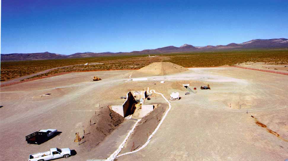
English: Nevada Test Site, Area 4. Big Explosives Experimental Facility (BEEF), showing the blast berm, which deflects blasts from high explosive detonations on the firing table to the front of the berm. |
| Source | Nevada Test Site Guide, DOE/NV-715 |
| Author | Federal Government of the United States |
| Camera location | | View this and other nearby images on: OpenStreetMap |
|
|---|
Licensing
| This image is a work of a
United States Department of Energy (or predecessor organization) employee, taken or made as part of that person's official duties. As a
work of the
U.S. federal government, the image is in the
public domain.
Please note that national laboratories operate under varying licences and some are not free. Check the site policies of any national lab before crediting it with this tag.
|

|
File history
Click on a date/time to view the file as it appeared at that time.
| Date/Time | Thumbnail | Dimensions | User | Comment | |
|---|---|---|---|---|---|
| current | 20:56, 8 October 2011 |
| 972 × 544 (41 KB) | Bomazi |
File usage
The following pages on the English Wikipedia use this file (pages on other projects are not listed):
Global file usage
The following other wikis use this file:
- Usage on ar.wikipedia.org