
Size of this preview:
800 × 480 pixels. Other resolutions:
320 × 192 pixels |
1,024 × 615 pixels |
1,280 × 769 pixels |
3,161 × 1,898 pixels.
Original file (3,161 × 1,898 pixels, file size: 7.44 MB, MIME type: image/jpeg)
| This is a file from the
Wikimedia Commons. Information from its
description page there is shown below. Commons is a freely licensed media file repository. You can help. |
Summary
|
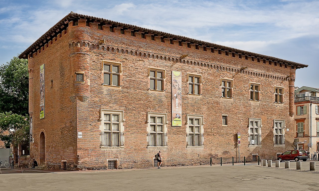
Musée Saint-Raymond, Toulouse, facade, northwest exposure | |||||||||||||||||||
|
| |||||||||||||||||||

File history
Click on a date/time to view the file as it appeared at that time.
| Date/Time | Thumbnail | Dimensions | User | Comment | |
|---|---|---|---|---|---|
| current | 16:26, 14 April 2021 |
| 3,161 × 1,898 (7.44 MB) | Archaeodontosaurus | corrections |
| 15:30, 9 February 2014 |
 | 3,161 × 2,336 (5.58 MB) | Archaeodontosaurus | {{Information |Description ={{en|1=v}} |Source ={{own}} |Author = Archaeodontosaurus |Date = |Permission = |other_versions = }} |
File usage
The following pages on the English Wikipedia use this file (pages on other projects are not listed):
Global file usage
The following other wikis use this file:
- Usage on ar.wikipedia.org
- Usage on arz.wikipedia.org
- Usage on az.wikipedia.org
- Usage on ca.wikipedia.org
- Usage on de.wikivoyage.org
- Usage on en.wikivoyage.org
- Usage on eo.wikipedia.org
- Usage on es.wikipedia.org
- Usage on eu.wikipedia.org
- Usage on fi.wikipedia.org
- Usage on fr.wikipedia.org
- Usage on fr.wikivoyage.org
- Usage on he.wikivoyage.org
- Usage on it.wikipedia.org
- Usage on it.wikivoyage.org
- Usage on mzn.wikipedia.org
- Usage on oc.wikipedia.org
- Usage on pt.wikipedia.org
- Usage on tr.wikipedia.org
- Usage on www.wikidata.org
- Usage on zh.wikipedia.org