
Size of this preview:
466 × 600 pixels. Other resolutions:
186 × 240 pixels |
373 × 480 pixels |
596 × 768 pixels |
795 × 1,024 pixels |
2,447 × 3,150 pixels.
Original file (2,447 × 3,150 pixels, file size: 3.87 MB, MIME type: image/jpeg)
| This is a file from the
Wikimedia Commons. Information from its
description page there is shown below. Commons is a freely licensed media file repository. You can help. |
Summary
| Description |
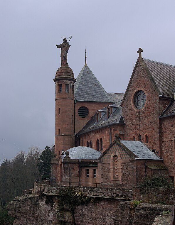
English: Mont Sainte-Odile |
| Date | |
| Source | Own work |
| Author | Berthold Werner |
| Camera location |
| View this and other nearby images on: OpenStreetMap |
|
|---|
Licensing
| I, the copyright holder of this work, release this work into the
public domain. This applies worldwide. In some countries this may not be legally possible; if so: I grant anyone the right to use this work for any purpose, without any conditions, unless such conditions are required by law. |
File history
Click on a date/time to view the file as it appeared at that time.
| Date/Time | Thumbnail | Dimensions | User | Comment | |
|---|---|---|---|---|---|
| current | 19:10, 27 March 2009 |
| 2,447 × 3,150 (3.87 MB) | Berthold Werner | {{Information |Description={{en|1=Mont Sainte-Odile}} |Source=Eigenes Werk (own work) |Author= Berthold Werner |Date=2009-03-02 |Permission= |other_versions= }} <!--{{ImageUpload|full}}--> Category:Mont Sainte-Odile [[Category |
File usage
The following pages on the English Wikipedia use this file (pages on other projects are not listed):
Global file usage
The following other wikis use this file:
- Usage on als.wikipedia.org
- Usage on bg.wikipedia.org
- Usage on cs.wikipedia.org
- Usage on cv.wikipedia.org
- Usage on de.wikisource.org
- Usage on es.wikipedia.org
- Usage on eu.wikipedia.org
- Usage on fr.wikipedia.org
- Usage on hy.wikipedia.org
- Usage on mk.wikipedia.org
- Usage on nl.wikipedia.org
- Usage on pt.wikipedia.org
- Usage on ru.wikipedia.org
- Usage on uk.wikipedia.org