
Size of this PNG preview of this SVG file:
800 × 503 pixels. Other resolutions:
320 × 201 pixels |
640 × 403 pixels |
1,024 × 644 pixels |
1,280 × 805 pixels |
2,560 × 1,610 pixels |
3,993 × 2,512 pixels.
Original file (SVG file, nominally 3,993 × 2,512 pixels, file size: 1.18 MB)
| This is a file from the
Wikimedia Commons. Information from its
description page there is shown below. Commons is a freely licensed media file repository. You can help. |
W3C-validity not checked.
| Description |
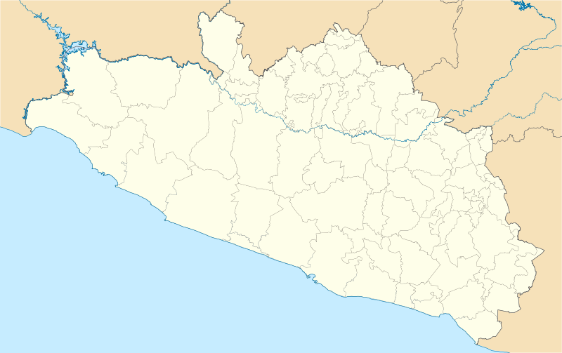
Location Map of en:Estado de Guerrero Equirectangular projection, Geographic limits of the map:
|
| Date | |
| Source | Own work |
| Author | Battroid ( talk) |
I, the copyright holder of this work, hereby publish it under the following license:
| I, the copyright holder of this work, release this work into the
public domain. This applies worldwide. In some countries this may not be legally possible; if so: I grant anyone the right to use this work for any purpose, without any conditions, unless such conditions are required by law. |
File history
Click on a date/time to view the file as it appeared at that time.
| Date/Time | Thumbnail | Dimensions | User | Comment | |
|---|---|---|---|---|---|
| current | 06:01, 16 December 2011 |
| 3,993 × 2,512 (1.18 MB) | Battroid | {{ValidSVG}} {{Information |Description=Location Map of en:Estado de Guerrero Equirectangular projection, Geographic limits of the map: * N: 18.96° N * S: 16.25° N * W: 102.39° W * E: 97.87° W |Source={{own work}} |Date=2011-12-13 |Author=[[User: |
| 06:11, 14 December 2011 |
 | 3,993 × 2,512 (1.17 MB) | Battroid | {{ValidSVG}} {{Information |Description=Location Map of en:Estado de Guerrero Equirectangular projection, Geographic limits of the map: * N: 18.96° N * S: 16.25° N * W: 102.39° W * E: 97.87° W |Source={{own work}} |Date=2011-12-13 |Author=[[User: | |
| 05:53, 14 December 2011 |
 | 3,993 × 2,512 (1.17 MB) | Battroid | {{ValidSVG}} {{Information |Description=Location Map of en:Estado de Guerrero Equirectangular projection, Geographic limits of the map: * N: 18.96° N * S: 16.25° N * W: 102.39° W * E: 97.87° W |Source={{own work}} |Date=2011-12-13 |Author=[[User: |
File usage
The following pages on the English Wikipedia use this file (pages on other projects are not listed):
- 1957 Guerrero earthquake
- 1982 World Cup (men's golf)
- 2010–11 Tercera División de México season
- 2011–12 Tercera División de México season
- 2012–13 Tercera División de México season
- 2013–14 Tercera División de México season
- 2014–15 Tercera División de México season
- 2015–16 Tercera División de México season
- 2016–17 Tercera División de México season
- 2017–18 Tercera División de México season
- 2018–19 Liga TDP season
- 2019–20 Liga TDP season
- 2020–21 Liga TDP season
- 2021 Guerrero earthquake
- 2021–22 Liga TDP season
- 2022–23 Liga TDP season
- 2023–24 Liga TDP season
- Acapetlahuaya
- Acapulco
- Acapulco (municipality)
- Acapulco International Airport
- Ahuacuotzingo (municipality)
- Ajuchitlán
- Atoyac de Álvarez
- Ayahualtempa
- Ayotzinapa
- Ayutla de los Libres
- Azoyú
- Cerro Teotepec
- Chilapa de Álvarez
- Chilpancingo
- Chilpancingo National Airport
- Ciudad Altamirano
- Coyuca de Benítez
- Coyuca de Catalán
- Cuajinicuilapa
- Cuajinicuilapa (municipality)
- Cualac, Guerrero
- Cuautepec
- General Canuto A. Neri
- Iguala
- Ixcateopan de Cuauhtémoc
- Ixtapa-Zihuatanejo International Airport
- Las Vigas
- Oxtotitlán
- Pie de la Cuesta, Guerrero
- Pie de la Cuesta Air Force Base
- Pilcaya (municipality)
- Punta Maldonado
- San Marcos, Guerrero
- San Nicolás, Guerrero
- Santa Barbara Regional Airport
- Santa Cruz del Rincón
- Taxco
- Taxco el Viejo
- Tecpan de Galeana
- Tecpan de Galeana (municipality)
- Tierra Colorada
- Tixtla
- Tlacoachistlahuaca
- Tlacoachistlahuaca (municipality)
- Tlapa de Comonfort
- Zihuatanejo
- Ñuu Savi
- User:Jambe2018/sandbox
- User:Paris1127/1957 Mexico Earthquake
- User:Ty654/List of earthquakes before 1900 exceeding magnitude 8+
- User:Ty654/List of earthquakes from 1900-1949 exceeding magnitude 7+
- User:Ty654/List of earthquakes from 1930-1939 exceeding magnitude 6+
- User:Ty654/List of earthquakes from 1940-1949 exceeding magnitude 6+
- User:Ty654/List of earthquakes from 1950-1954 exceeding magnitude 6+
- User:Ty654/List of earthquakes from 1950-1999 exceeding magnitude 7+
- User:Ty654/List of earthquakes from 1955-1959 exceeding magnitude 6+
- User:Ty654/List of earthquakes from 1960-1964 exceeding magnitude 6+
- User:Ty654/List of earthquakes from 1965-1969 exceeding magnitude 6+
- User:Ty654/List of earthquakes from 1975-1979 exceeding magnitude 6+
- User:Ty654/List of earthquakes from 1980-1984 exceeding magnitude 6+
- User:Ty654/List of earthquakes from 1985-1989 exceeding magnitude 6+
- User:Ty654/List of earthquakes from 1990-1994 exceeding magnitude 6+
- User:Ty654/List of earthquakes from 1995-1999 exceeding magnitude 6+
- User:Ty654/List of earthquakes from 2000-2004 exceeding magnitude 6+
- User:Ty654/List of earthquakes from 2000-present exceeding magnitude 7+
- User:Ty654/List of earthquakes from 2005-2009 exceeding magnitude 6+
- User:Ty654/List of earthquakes from 2010-2014 exceeding magnitude 6+
- Module:Location map/data/Mexico Guerrero
- Module:Location map/data/Mexico Guerrero/doc
Global file usage
The following other wikis use this file:
- Usage on ar.wikipedia.org
- Usage on ba.wikipedia.org
- Usage on bg.wikipedia.org
- Usage on ceb.wikipedia.org
- Usage on ce.wikipedia.org
- Usage on de.wikipedia.org
- Usage on eo.wikipedia.org
- Usage on es.wikipedia.org
- Usage on fa.wikipedia.org
- Usage on fr.wikipedia.org
- Acapulco
- Chilpancingo
- Taxco
- Iguala
- Apango
- Zihuatanejo
- San Luis de la Loma
- Modèle:Géolocalisation/Guerrero
- Oceanic 2000
- Tournoi de tennis du Mexique (ATP 2014)
- Wikipédia:Atelier graphique/Cartes/Archives/avril 2014
- HS Hotsson Smart Acapulco
- Torres Gemelas
- San Marcos (Guerrero)
- Juliantla
- Tournoi de tennis du Mexique (ATP 2004)
- Tournoi de tennis du Mexique (ATP 2003)
- Tournoi de tennis du Mexique (ATP 2002)
- Tournoi de tennis du Mexique (ATP 2001)
- Tournoi de tennis du Mexique (ATP 2018)
- Tournoi de tennis du Mexique (WTA 2018)
- Tournoi de tennis du Mexique (ATP 2019)
- Tournoi de tennis du Mexique (WTA 2019)
View more global usage of this file.