
Size of this PNG preview of this SVG file:
512 × 425 pixels. Other resolutions:
289 × 240 pixels |
578 × 480 pixels |
925 × 768 pixels |
1,234 × 1,024 pixels |
2,467 × 2,048 pixels.
Original file (SVG file, nominally 512 × 425 pixels, file size: 795 KB)
| This is a file from the
Wikimedia Commons. Information from its
description page there is shown below. Commons is a freely licensed media file repository. You can help. |
| Description |
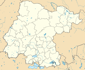
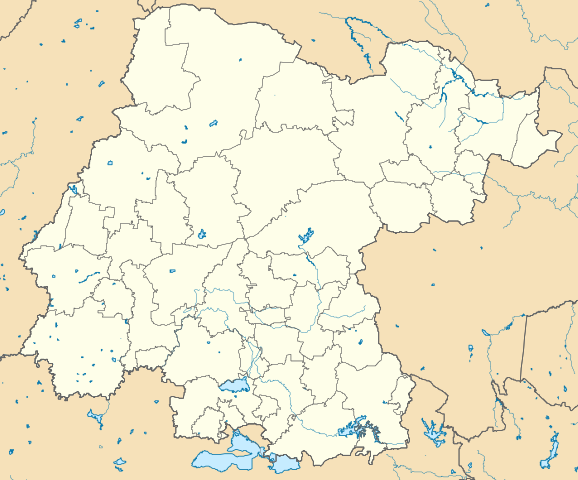
Mapa de los municipios del estado de Guanajuato, México. Limites del mapa:
|
||
| Date | |||
| Source |
Own work This W3C-unspecified
vector image was created with
Inkscape . |
||
| Author | Battroid | ||
| Permission ( Reusing this file) |
I, the copyright holder of this work, hereby publish it under the following licenses: This file is licensed under the
Creative Commons
Attribution-Share Alike 3.0 Unported license.
You may select the license of your choice. |

File history
Click on a date/time to view the file as it appeared at that time.
| Date/Time | Thumbnail | Dimensions | User | Comment | |
|---|---|---|---|---|---|
| current | 15:10, 5 June 2016 |
| 512 × 425 (795 KB) | Addicted04 | New map |
| 06:57, 14 March 2012 |
 | 3,021 × 2,500 (738 KB) | Battroid | {{Information |Description=Mapa de los municipios del estado de Guanajuato, México |Source={{own}} {{Inkscape}} |Date=2011-07-31 |Author= Battroid |Permission={{self|cc-by-sa-3.0|GFDL}} |other_versions= }} [[Category:Location maps o... | |
| 03:40, 10 March 2012 |
 | 3,021 × 2,500 (731 KB) | Battroid | {{Information |Description=Mapa de los municipios del estado de Guanajuato, México |Source={{own}} {{Inkscape}} |Date=2011-07-31 |Author= Battroid |Permission={{self|cc-by-sa-3.0|GFDL}} |other_versions= }} [[Category:Location maps o... | |
| 19:46, 31 July 2011 |
 | 3,021 × 2,500 (731 KB) | Battroid | {{Information |Description=Mapa de los municipios del estado de Guanajuato, México |Source={{own}} {{Inkscape}} |Date=2011-07-31 |Author= Battroid |Permission={{self|cc-by-sa-3.0|GFDL}} |other_versions= }} [[Category:Maps of Guanajuato |
File usage
The following pages on the English Wikipedia use this file (pages on other projects are not listed):
- 2010–11 Tercera División de México season
- 2011–12 Tercera División de México season
- 2012–13 Tercera División de México season
- 2013–14 Tercera División de México season
- 2014–15 Tercera División de México season
- 2015–16 Tercera División de México season
- 2016–17 Tercera División de México season
- 2017–18 Tercera División de México season
- 2018–19 Liga TDP season
- 2019–20 Liga TDP season
- 2020–21 Liga TDP season
- 2021–22 Liga TDP season
- 2022–23 Liga TDP season
- 2023–24 Liga TDP season
- Acámbaro
- Apaseo el Alto
- Apaseo el Grande
- Bajío International Airport
- Captain Rogelio Castillo National Airport
- Celaya Cathedral
- Celaya massacre
- Cortazar, Guanajuato
- Guanajuato (city)
- Irapuato
- Lake Yuriria
- León, Guanajuato
- Manuel Doblado, Guanajuato
- Mexico Championship
- Pénjamo
- Salamanca, Guanajuato
- Salvatierra, Guanajuato
- San Luis de la Paz
- San Miguel de Allende
- Santa Rosa de Lima (Villagrán), Guanajuato
- Silao
- Uriangato
- Valle de Santiago
- Module:Location map/data/Mexico Guanajuato
- Module:Location map/data/Mexico Guanajuato/doc
Global file usage
The following other wikis use this file:
- Usage on ar.wikipedia.org
- Usage on ba.wikipedia.org
- Usage on bg.wikipedia.org
- Usage on ceb.wikipedia.org
- Usage on ce.wikipedia.org
- Usage on de.wikipedia.org
- Guanajuato (Stadt)
- San Miguel de Allende
- León (Mexiko)
- Irapuato
- Álvaro-Obregón-Talsperre (Guanajuato)
- Celaya
- Wikipedia:Kartenwerkstatt/Positionskarten/Nordamerika
- Estadio Nou Camp
- Estadio Sergio León Chávez
- Dolores Hidalgo
- Vorlage:Positionskarte Mexiko Guanajuato
- Estadio Miguel Alemán Valdés
- Estadio La Martinica
- Dreiband-Weltcup 2008/3
- Mineral de Pozos
- Acámbaro
- Salvatierra (Guanajuato)
- Tarandacuao
- Presa Solís
- Apaseo el Alto
- Salamanca (Guanajuato)
- Yuriria
- Comonfort (Guanajuato)
- Usage on eo.wikipedia.org
- Usage on es.wikipedia.org
- Usage on fa.wikipedia.org
- Usage on fr.wikipedia.org
View more global usage of this file.