
Size of this preview:
800 × 450 pixels. Other resolutions:
320 × 180 pixels |
640 × 360 pixels |
1,024 × 576 pixels |
1,280 × 720 pixels |
1,920 × 1,080 pixels.
Original file (1,920 × 1,080 pixels, file size: 343 KB, MIME type: image/jpeg)
| This is a file from the
Wikimedia Commons. Information from its
description page there is shown below. Commons is a freely licensed media file repository. You can help. |
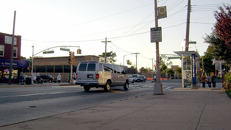
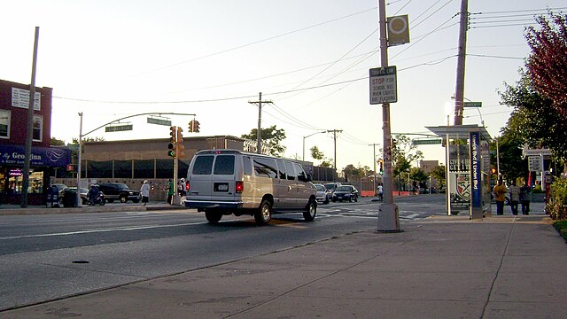
| Description | Looking towards the intersection of Merrick Boulevard and Linden Boulevard in w:Addisleigh Park, Queens, New York. |
| Date | |
| Source | Own work |
| Author | Pacific Coast Highway |
| Camera location |
| View this and other nearby images on: OpenStreetMap |
|
|---|
| I, the copyright holder of this work, release this work into the
public domain. This applies worldwide. In some countries this may not be legally possible; if so: I grant anyone the right to use this work for any purpose, without any conditions, unless such conditions are required by law. |
File history
Click on a date/time to view the file as it appeared at that time.
| Date/Time | Thumbnail | Dimensions | User | Comment | |
|---|---|---|---|---|---|
| current | 15:46, 2 September 2007 |
| 1,920 × 1,080 (343 KB) | Marku1988 | |
| 15:18, 2 September 2007 |
 | 1,920 × 1,080 (837 KB) | Pacific Coast Highway | {{Information |Description=Looking towards the intersection of Merrick Boulevard and Linden Boulevard in w:Addisleigh Park, Queens, New York. |Source=self-made |Date=2007-09-01 |Author= [[User:Pacific Coa |
File usage
The following pages on the English Wikipedia use this file (pages on other projects are not listed):
Global file usage
The following other wikis use this file:
- Usage on azb.wikipedia.org
- Usage on fr.wikipedia.org
- Usage on www.wikidata.org
- Q62295
- Wikidata:Translatathon NYC/es
- Wikidata:Translatathon NYC/zh
- Wikidata:Translatathon NYC/ru
- Wikidata:Translatathon NYC/ro
- Wikidata:Translatathon NYC/el
- Wikidata:Translatathon NYC/de
- Wikidata:Translatathon NYC/my
- Wikidata:Translatathon NYC/ar
- Wikidata:Translatathon NYC/bn
- Wikidata:Translatathon NYC/hi
- Wikidata:Translatathon NYC/jp
- Wikidata:Translatathon NYC/ko
- Wikidata:Translatathon NYC/pt
- Wikidata:Translatathon NYC/ht
- Wikidata:Translatathon NYC/uk
- Wikidata:Translatathon NYC/tl
- Wikidata:Translatathon NYC/yi
- Wikidata:Translatathon NYC/ka