
Size of this preview:
800 × 600 pixels. Other resolutions:
320 × 240 pixels |
640 × 480 pixels |
1,024 × 768 pixels |
1,280 × 960 pixels |
2,048 × 1,536 pixels.
Original file (2,048 × 1,536 pixels, file size: 2.65 MB, MIME type: image/jpeg)
| This is a file from the
Wikimedia Commons. Information from its
description page there is shown below. Commons is a freely licensed media file repository. You can help. |
_-_Asiae-Tabula_IX.jpg)
Summary
| Description |
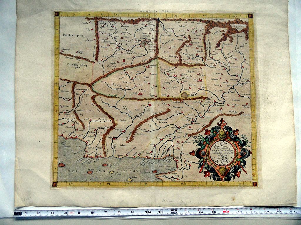
English: Ptolemy's 9th Asian Map, depicting the lands just west of the Indus River during classical antiquity. |
| Date | 21 May 2013 23:11:37 |
| Source | An edition of G. Mercator's atlas, issued at Duisburg. Compare 1584 reprint. |
| Author | Ptolemy |

|
This file has been superseded by
Mercator Map (1578) - Asiae-Tabula IX.png. It is recommended to use the other file. Please note that deleting superseded images
requires consent. Reason to use the other file: "A PNG version of this file is now available."
|
_-_Asiae-Tabula_IX.png)
|
Licensing
|
This is a faithful photographic reproduction of a two-dimensional,
public domain work of art. The work of art itself is in the public domain for the following reason:
The official position taken by the Wikimedia Foundation is that "faithful reproductions of two-dimensional public domain works of art are public domain".
This photographic reproduction is therefore also considered to be in the public domain in the United States. In other jurisdictions, re-use of this content may be restricted; see Reuse of PD-Art photographs for details. | ||||
File history
Click on a date/time to view the file as it appeared at that time.
| Date/Time | Thumbnail | Dimensions | User | Comment | |
|---|---|---|---|---|---|
| current | 05:31, 25 April 2017 |
| 2,048 × 1,536 (2.65 MB) | PawełMM | white balanced |
| 06:16, 22 May 2013 |
 | 2,048 × 1,536 (977 KB) | Sarfatti | User created page with UploadWizard |
File usage
The following pages on the English Wikipedia use this file (pages on other projects are not listed):
Global file usage
The following other wikis use this file:
- Usage on ar.wikipedia.org
- Usage on ca.wikipedia.org
- Usage on es.wikipedia.org
- Usage on fa.wikipedia.org
- Usage on it.wikipedia.org
- Usage on la.wikipedia.org
- Usage on ru.wikipedia.org
- Usage on uz.wikipedia.org
- Usage on www.wikidata.org
- Usage on zh.wikipedia.org
_-_Asiae-Tabula_IX.jpg)