Size of this preview:
800 × 552 pixels. Other resolutions:
320 × 221 pixels |
640 × 441 pixels |
1,024 × 706 pixels |
1,280 × 883 pixels |
2,100 × 1,448 pixels.
Original file (2,100 × 1,448 pixels, file size: 741 KB, MIME type: image/jpeg)
| This is a file from the
Wikimedia Commons. Information from its
description page there is shown below. Commons is a freely licensed media file repository. You can help. |
Summary
| Description |
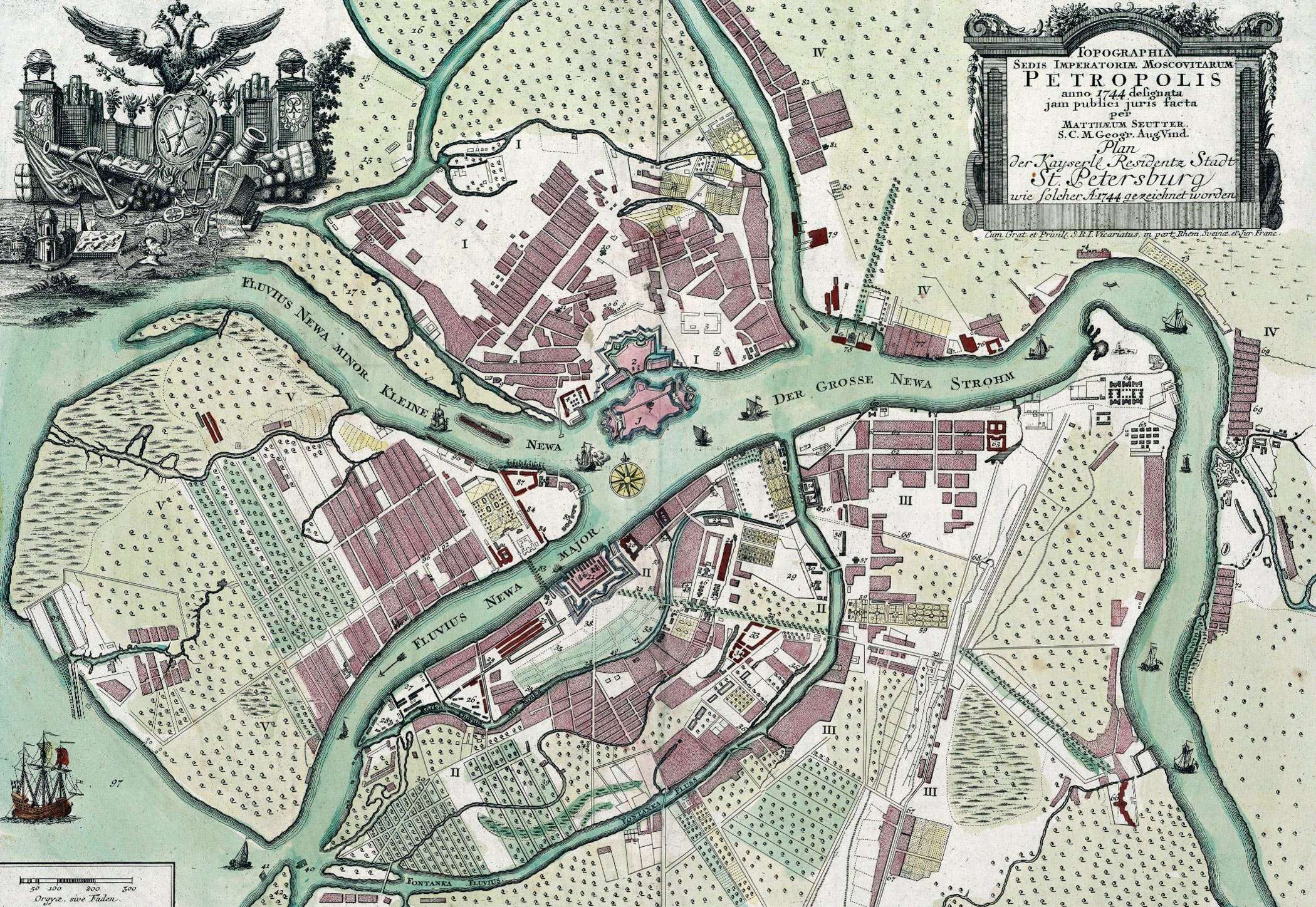
English: Map of St. Petersburg compiled, in 1744, by Matthias Souter Русский: Карта Санкт-Петербурга составленная в 1744 г. Маттиас Сойтер |
| Date | |
| Source | http://www.spbin.ru/maps/map_stoyter_1744.htm |
| Author | Маттиас Сойтер |
Licensing
|
This work is in the public domain in its country of origin and other countries and areas where the copyright term is the author's life plus 100 years or fewer. | |
| This file has been identified as being free of known restrictions under copyright law, including all related and neighboring rights. | |
File history
Click on a date/time to view the file as it appeared at that time.
| Date/Time | Thumbnail | Dimensions | User | Comment | |
|---|---|---|---|---|---|
| current | 07:47, 25 May 2010 |
| 2,100 × 1,448 (741 KB) | Peterburg23 | == Summary == {{Information |Description=Карта Санкт-Петербурга составленная в 1744 г. Маттиас Сойтер |Source=http://www.spbin.ru/maps/map_stoyter_1744.htm |Date=1744 |Author=Маттиас Сойтер |Perm |
File usage
The following pages on the English Wikipedia use this file (pages on other projects are not listed):
Global file usage
The following other wikis use this file:
- Usage on azb.wikipedia.org
- Usage on gl.wikipedia.org
- Usage on id.wikipedia.org
- Usage on io.wikipedia.org
- Usage on mt.wikipedia.org
- Usage on pl.wikipedia.org
- Usage on sl.wikipedia.org
- Usage on ta.wikipedia.org
- Usage on te.wikipedia.org
- Usage on zh.wikipedia.org