
Original file (1,083 × 1,536 pixels, file size: 314 KB, MIME type: image/jpeg)
| This is a file from the
Wikimedia Commons. Information from its
description page there is shown below. Commons is a freely licensed media file repository. You can help. |
Summary
| Description |
|
| Date | |
| Source | David Rumsey Map Collection – Cartography Associates |
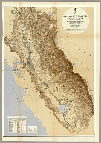
| Author | Board of Commissioners on Irrigation, California |
| Other versions |
|

Licensing
|
This work is in the public domain in its country of origin and other countries and areas where the copyright term is the author's life plus 70 years or fewer.
| |
| This file has been identified as being free of known restrictions under copyright law, including all related and neighboring rights. | |
File history
Click on a date/time to view the file as it appeared at that time.
| Date/Time | Thumbnail | Dimensions | User | Comment | |
|---|---|---|---|---|---|
| current | 10:56, 20 April 2012 |
| 1,083 × 1,536 (314 KB) | NordNordWest | == {{int:filedesc}} == {{Information |Description={{de|''Map of San Joaquin, Sacramento and Tulare Valleys, State of California, prepared under the direction of the Board of Commissioners on Irrigation, appointed under the Act of Congress approved Marc... |
File usage
Global file usage
The following other wikis use this file:
- Usage on ml.wikipedia.org