Size of this JPG preview of this PDF file:
776 × 600 pixels. Other resolutions:
311 × 240 pixels |
621 × 480 pixels |
994 × 768 pixels |
1,280 × 989 pixels |
1,650 × 1,275 pixels.
Original file (1,650 × 1,275 pixels, file size: 154 KB, MIME type: application/pdf)
| This is a file from the
Wikimedia Commons. Information from its
description page there is shown below. Commons is a freely licensed media file repository. You can help. |
| Description |
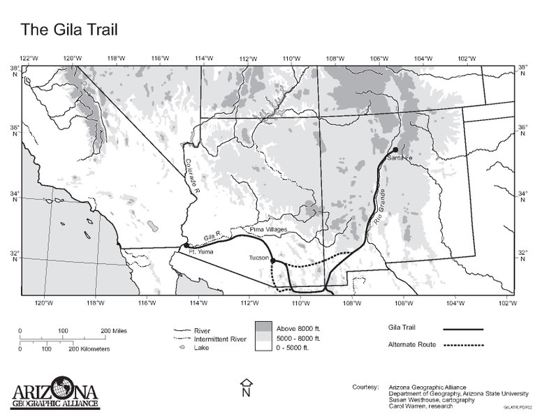
English: Map of the
Gila Trail—Southern Emigrant Trail.
|
| Date | |
| Source | http://alliance.la.asu.edu/model/geoliteracyCD/Maps/AAMapsNewFormat.html |
| Author | Barbara Tripido-Lurie |
| Permission ( Reusing this file) |
http://alliance.la.asu.edu/model/geoliteracyCD/Maps/AAMapsNewFormat.html |
| This work has been released into the
public domain by its author, Barbara Tripido-Lurie. This applies worldwide. In some countries this may not be legally possible; if so: Barbara Tripido-Lurie grants anyone the right to use this work for any purpose, without any conditions, unless such conditions are required by law.
|
File history
Click on a date/time to view the file as it appeared at that time.
| Date/Time | Thumbnail | Dimensions | User | Comment | |
|---|---|---|---|---|---|
| current | 01:09, 21 May 2012 |
 | 1,650 × 1,275 (154 KB) | $1LENCE D00600D | {{subst:Upload marker added by en.wp UW}} {{Information |Description = {{en|Map of the Gila Trail in the United States and Mexico.}} |Source = http://alliance.la.asu.edu/model/geoliteracyCD/Maps/AAMapsNewFormat.html |Date = 1996 |Author = Barbara Tripi... |
File usage
The following pages on the English Wikipedia use this file (pages on other projects are not listed):
Global file usage
The following other wikis use this file:
- Usage on es.wikipedia.org
- Usage on it.wikipedia.org