
Size of this PNG preview of this SVG file:
800 × 590 pixels. Other resolutions:
320 × 236 pixels |
640 × 472 pixels |
1,024 × 755 pixels |
1,280 × 944 pixels |
2,560 × 1,887 pixels |
2,709 × 1,997 pixels.
Original file (SVG file, nominally 2,709 × 1,997 pixels, file size: 47 KB)
| This is a file from the
Wikimedia Commons. Information from its
description page there is shown below. Commons is a freely licensed media file repository. You can help. |
Summary
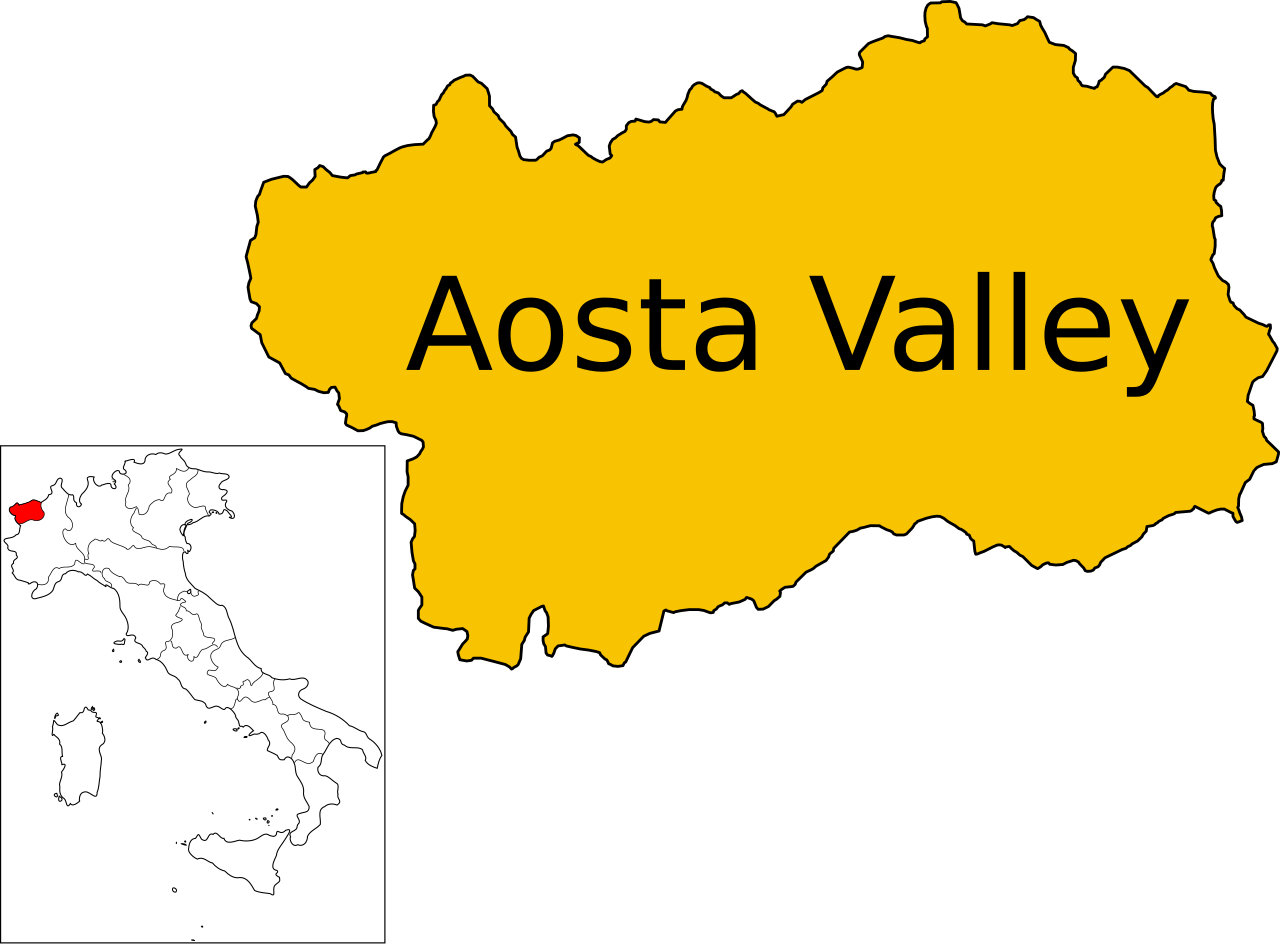
| Description | (English version) |
| Date | |
| Source | Own work |
| Author | Vonvikken |
| Other versions |
|


W3C-validity not checked.
This W3C-unspecified
vector image was created with
Inkscape .

|
This SVG file contains embedded text that can be translated into your language, using any capable SVG editor, text editor or the SVG Translate tool. For more information see: About translating SVG files. |
This
vector image includes elements that have been taken or adapted from this file:
This
vector image includes elements that have been taken or adapted from this file:
Licensing
| This work has been released into the
public domain by its author,
Vonvikken. This applies worldwide. In some countries this may not be legally possible; if so: |
File history
Click on a date/time to view the file as it appeared at that time.
| Date/Time | Thumbnail | Dimensions | User | Comment | |
|---|---|---|---|---|---|
| current | 10:33, 2 August 2010 |
| 2,709 × 1,997 (47 KB) | Vonvikken | == {{int:filedesc}} == {{Information |Description={{DescrMapRegionItaly|AOS}}(''English version'') |Source={{own}} |Author= Vonvikken |Date=2010-08-02 |Permission= |other_versions=[[File:Map of region of Aosta Valley, Italy.svg|100px|Bla |
File usage
The following pages on the English Wikipedia use this file (pages on other projects are not listed):