
Size of this PNG preview of this SVG file:
800 × 596 pixels. Other resolutions:
320 × 239 pixels |
640 × 477 pixels |
1,024 × 764 pixels |
1,280 × 954 pixels |
2,560 × 1,909 pixels |
6,451 × 4,810 pixels.
Original file (SVG file, nominally 6,451 × 4,810 pixels, file size: 136 KB)
| This is a file from the
Wikimedia Commons. Information from its
description page there is shown below. Commons is a freely licensed media file repository. You can help. |
Summary
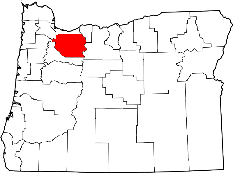
David Benbennick made this map. For more information, see Commons:United States county locator maps.
| I, the copyright holder of this work, release this work into the
public domain. This applies worldwide. In some countries this may not be legally possible; if so: I grant anyone the right to use this work for any purpose, without any conditions, unless such conditions are required by law. |
File history
Click on a date/time to view the file as it appeared at that time.
| Date/Time | Thumbnail | Dimensions | User | Comment | |
|---|---|---|---|---|---|
| current | 16:16, 12 February 2006 |
| 6,451 × 4,810 (136 KB) | David Benbennick | {{subst:User:Dbenbenn/clm|county=Clackamas County|state=Oregon|type=county}} |
File usage
The following pages on the English Wikipedia use this file (pages on other projects are not listed):
- Barlow, Oregon
- Barton, Oregon
- Beavercreek, Oregon
- Boring, Oregon
- Brightwood, Oregon
- Bull Run, Oregon
- Canby, Oregon
- Carus, Oregon
- Carver, Oregon
- Cazadero, Oregon
- Charbonneau, Oregon
- Cherryville, Oregon
- Clackamas, Oregon
- Clackamas County, Oregon
- Clarkes, Oregon
- Colton, Oregon
- Cottrell, Oregon
- Damascus, Oregon
- Eagle Creek, Oregon
- Estacada, Oregon
- Faubion, Oregon
- Firwood, Clackamas County, Oregon
- Gladstone, Oregon
- Government Camp, Oregon
- Happy Valley, Oregon
- Jean, Oregon
- Jennings Lodge, Oregon
- Johnson City, Oregon
- Kelso, Oregon
- Ladd Hill, Oregon
- Lake Oswego
- Lakewood, Oregon
- Liberal, Oregon
- List of counties in Oregon
- Logan, Oregon
- Lone Elder, Oregon
- Macksburg, Oregon
- Marmot, Oregon
- Marquam, Oregon
- Marylhurst, Oregon
- Milwaukie, Oregon
- Milwaukie Heights, Oregon
- Molalla, Oregon
- Molalla Prairie, Oregon
- Mount Hood Village, Oregon
- Mountain Air Park, Oregon
- Mulino, Oregon
- National Register of Historic Places listings in Clackamas County, Oregon
- Needy, Oregon
- New Era, Oregon
- North Fork Dam (Clackamas County, Oregon)
- North Fork Reservoir (Clackamas County, Oregon)
- Oak Grove, Oregon
- Oatfield, Oregon
- Oregon City, Oregon
- Portland, Oregon
- Redland, Oregon
- Rhododendron, Oregon
- Ripplebrook, Oregon
- Rivergrove, Oregon
- Riverside, Clackamas County, Oregon
- Sandy, Oregon
- Shadowood, Oregon
- Springwater, Oregon
- Stafford, Oregon
- Sunnyside, Clackamas County, Oregon
- Tualatin, Oregon
- Warm Springs Indian Reservation
- Welches, Oregon
- Wemme, Oregon
- West Linn, Oregon
- Wildwood, Clackamas County, Oregon
- Wilsonville, Oregon
- Yoder, Oregon
- Zigzag, Oregon
- User:AridCeption/sandbox
- User:Nyttend/County templates/OR
- Template:Clackamas County, Oregon
- Category:Populated places in Clackamas County, Oregon
Global file usage
The following other wikis use this file:
- Usage on ar.wikipedia.org
- بورتلاند (أوريغون)
- مقاطعة كلاكماس (أوريغون)
- ليك أوسويغو
- ميلواوكي
- أوريغن سيتي
- ساندي (أوريغون)
- توالاتين
- ويست لين
- بارلو
- كنبي
- دمشق (أوريغون)
- إستاكادا
- غلادستون (أوريغون)
- هابي فالي
- جونسون سيتي
- مولالا
- ريفرغروف
- ويلسونفيل
- قائمة مقاطعات أوريغون
- أوك غروف (أوريغون)
- جينينغز لودج (أوريغون)
- ماونت هود (أوريغون)
- قالب:مقاطعة كلاكماس (أوريغون)
- بورينغ (أوريغون)
- Usage on bg.wikipedia.org
- Usage on bpy.wikipedia.org
- Usage on ca.wikipedia.org
- Portland
- Barlow (Oregon)
- Canby (Oregon)
- Clackamas
- Estacada
- Gladstone (Oregon)
- Happy Valley (Oregon)
- Jennings Lodge
- Johnson City (Oregon)
- Lake Oswego
- Milwaukie
- Molalla
- Mount Hood Village
- Oak Grove (Oregon)
- Oatfield
- Oregon City
- Rivergrove
- Sandy (Oregon)
- West Linn
- Wilsonville (Oregon)
- Plantilla:Comtat de Clackamas
- Llista de comtats d'Oregon
- Usage on cdo.wikipedia.org
View more global usage of this file.