Original file (877 × 552 pixels, file size: 167 KB, MIME type: image/png)
Summary
| Description |
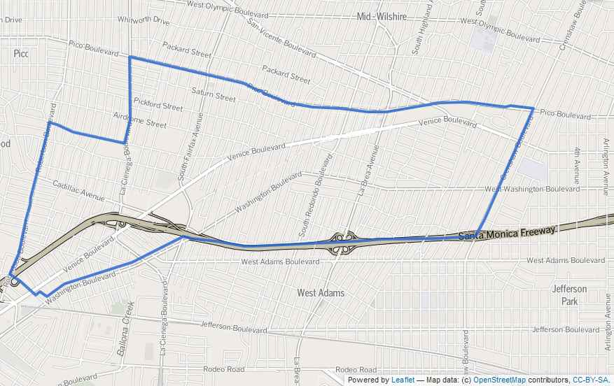
Map of Mid-City, Los Angeles, California, as drawn by the Los Angeles Times |
|---|---|
| Source |
http://projects.latimes.com/mapping-la/neighborhoods/neighborhood/mid-city/ |
| Date |
Unknown |
| Author |
Los Angeles Times |
| Permission ( Reusing this file) |
http://projects.latimes.com/mapping-la/neighborhoods/neighborhood/mid-city/
|
- Other information
|
| This work is licensed under the Creative Commons Attribution 2.0 License. |
Boundary map as drawn by the Los Angeles Times on a CC-by-SA background. Note at bottom right of map on the L.A. Times website noted above says "CC-by-SA" (which gives permission to use the map). There is a link there to https://creativecommons.org/licenses/by-sa/2.0, which explains the meaning thereof. The base map is credited to http://www.openstreetmap.org/
The Times spells all this out at http://projects.latimes.com/mapping-la/about/#the-data
Licensing
|
| This work is licensed under the Creative Commons Attribution-ShareAlike 2.0 License. |
 | This file is a candidate to be copied to
Wikimedia Commons.
Any user may perform this transfer; refer to Wikipedia:Moving files to Commons for details. If this file has problems with attribution, copyright, or is otherwise ineligible for Commons, then remove this tag and DO NOT transfer it; repeat violators may be blocked from editing. Other Instructions
| ||
| |||
File history
Click on a date/time to view the file as it appeared at that time.
| Date/Time | Thumbnail | Dimensions | User | Comment | |
|---|---|---|---|---|---|
| current | 16:24, 28 September 2013 |
| 877 × 552 (167 KB) | Redoubts ( talk | contribs) | The artifacts and color differences from the previous did not make sense to me, so I'm uploading a new version copied from the original source. As indicated by the watermark, this is a Creative Commons Attribution Share-Alike licensed image. Screencap... |
| 16:01, 25 May 2013 |
 | 958 × 560 (826 KB) | BeenAroundAWhile ( talk | contribs) | Uploading a file from a free published source using File Upload Wizard |
You cannot overwrite this file.