
Size of this PNG preview of this SVG file:
601 × 599 pixels. Other resolutions:
241 × 240 pixels |
481 × 480 pixels |
770 × 768 pixels |
1,027 × 1,024 pixels |
2,054 × 2,048 pixels |
7,342 × 7,321 pixels.
Original file (SVG file, nominally 7,342 × 7,321 pixels, file size: 310 KB)
| This is a file from the
Wikimedia Commons. Information from its
description page there is shown below. Commons is a freely licensed media file repository. You can help. |
Summary
- Credits
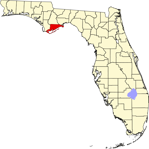
- David Benbennick made this map. For more information, see Commons:United States county locator maps.
| I, the copyright holder of this work, release this work into the
public domain. This applies worldwide. In some countries this may not be legally possible; if so: I grant anyone the right to use this work for any purpose, without any conditions, unless such conditions are required by law. |
File history
Click on a date/time to view the file as it appeared at that time.
| Date/Time | Thumbnail | Dimensions | User | Comment | |
|---|---|---|---|---|---|
| current | 05:33, 14 February 2006 |
| 7,342 × 7,321 (310 KB) | David Benbennick | New version with Lake Okeechobee |
| 10:37, 12 February 2006 |
 | 7,342 × 7,321 (307 KB) | David Benbennick | {{subst:User:Dbenbenn/clm|county=Franklin County|state=Florida}} |
File usage
The following pages on the English Wikipedia use this file (pages on other projects are not listed):
- Alligator Point, Florida
- Apalachicola, Florida
- Carrabelle, Florida
- Dog Island (Florida)
- Eastpoint, Florida
- Franklin County, Florida
- Lanark Village, Florida
- List of counties in Florida
- National Register of Historic Places listings in Franklin County, Florida
- Negro Fort
- St. George Island (Florida)
- St. Teresa, Florida
- User:Nyttend/County templates/FL
- Template:Franklin County, Florida
- Category:Populated places in Franklin County, Florida
- Category:Wikipedia requested photographs in Franklin County, Florida
Global file usage
The following other wikis use this file:
- Usage on ar.wikipedia.org
- Usage on bg.wikipedia.org
- Usage on bpy.wikipedia.org
- Usage on cdo.wikipedia.org
- Usage on ceb.wikipedia.org
- Usage on ce.wikipedia.org
- Usage on cy.wikipedia.org
- Usage on de.wikipedia.org
- Usage on eo.wikipedia.org
- Usage on es.wikipedia.org
- Usage on eu.wikipedia.org
- Usage on fa.wikipedia.org
- Usage on fi.wikipedia.org
- Usage on frr.wikipedia.org
- Usage on fr.wikipedia.org
- Usage on ga.wikipedia.org
- Usage on hu.wikipedia.org
- Usage on hy.wikipedia.org
- Usage on ja.wikipedia.org
- Usage on ko.wikipedia.org
- Usage on la.wikipedia.org
- Usage on nds.wikipedia.org
- Usage on new.wikipedia.org
- Usage on nl.wikipedia.org
- Usage on pnb.wikipedia.org
- Usage on pt.wikipedia.org
- Usage on ro.wikipedia.org
View more global usage of this file.