
Size of this PNG preview of this SVG file:
521 × 599 pixels. Other resolutions:
209 × 240 pixels |
417 × 480 pixels |
668 × 768 pixels |
891 × 1,024 pixels |
1,781 × 2,048 pixels |
9,164 × 10,536 pixels.
Original file (SVG file, nominally 9,164 × 10,536 pixels, file size: 229 KB)
| This is a file from the
Wikimedia Commons. Information from its
description page there is shown below. Commons is a freely licensed media file repository. You can help. |
Summary
| Description |
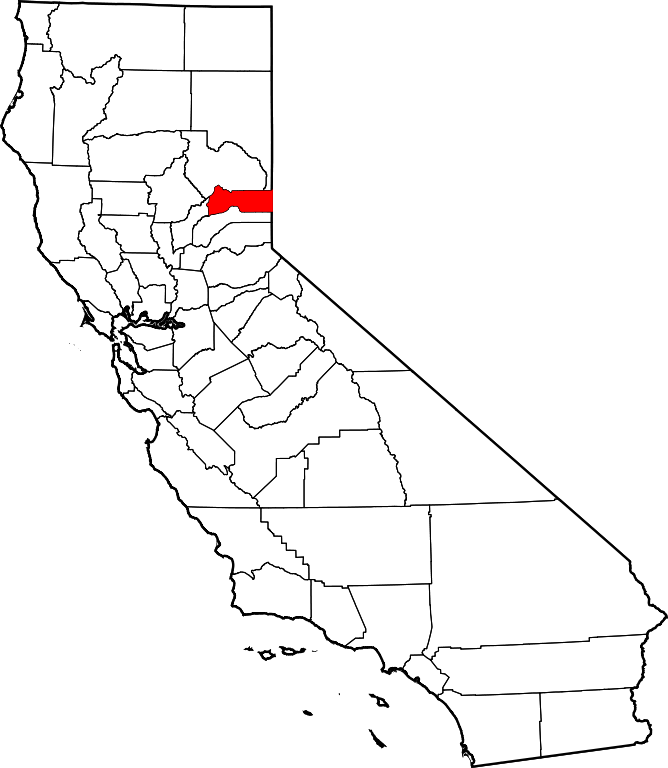
English: Locator map showing
Sierra County (red) — Northern
California.
|
| Date | 12 February 2006 (original upload date) |
| Source | No machine-readable source provided. Own work assumed (based on copyright claims). |
| Author | No machine-readable author provided. David Benbennick assumed (based on copyright claims). |
Credits
- David Benbennick made this map.
- For more information, see Commons:United States county locator maps.
Licensing
| I, the copyright holder of this work, release this work into the
public domain. This applies worldwide. In some countries this may not be legally possible; if so: I grant anyone the right to use this work for any purpose, without any conditions, unless such conditions are required by law. |
File history
Click on a date/time to view the file as it appeared at that time.
| Date/Time | Thumbnail | Dimensions | User | Comment | |
|---|---|---|---|---|---|
| current | 10:27, 12 February 2006 |
| 9,164 × 10,536 (229 KB) | David Benbennick | {{subst:User:Dbenbenn/clm|county=Sierra County|state=California}} |
File usage
The following pages on the English Wikipedia use this file (pages on other projects are not listed):
- Alleghany, California
- Bassetts, California
- Brandy City, California
- Cal-Ida, California
- Calpine, California
- Campbell Hot Springs, California
- Downieville, California
- Foote's Crossing Road
- Forest, California
- Gibsonville, California
- Goodyears Bar, California
- Grass Flat, California
- Haskell Creek Homesites, California
- Josefa Segovia
- List of counties in California
- Loganville, California
- Loyalton, California
- National Register of Historic Places listings in Sierra County, California
- Pike, California
- Poverty Hill, California
- Queen City, California
- Sattley, California
- Scales, California
- Sierra Brooks, California
- Sierra City, California
- Sierra County, California
- Sierraville, California
- Verdi, California
- User:AridCeption/sandbox
- User:CactusJack/California watchlist
- User:Darkest tree/sandbox/List of counties in California
- User:Nyttend/County templates/CA/3
- Template:Sierra County, California
- Category:Populated places in Sierra County, California
- Category:Wikipedia requested photographs in Sierra County, California
Global file usage
The following other wikis use this file:
- Usage on ar.wikipedia.org
- Usage on az.wikipedia.org
- Usage on ban.wikipedia.org
- Usage on bg.wikipedia.org
- Usage on bpy.wikipedia.org
- Usage on ca.wikipedia.org
- Usage on ceb.wikipedia.org
- Usage on ce.wikipedia.org
- Usage on cs.wikipedia.org
- Usage on cy.wikipedia.org
- Usage on da.wikipedia.org
- Usage on de.wikipedia.org
- Usage on el.wikipedia.org
- Usage on eo.wikipedia.org
- Usage on es.wikipedia.org
- Usage on et.wikipedia.org
- Usage on eu.wikipedia.org
- Usage on fa.wikipedia.org
- شهرستان سیرا، کالیفرنیا
- فهرست شهرستانهای کالیفرنیا
- لویالتون، کالیفرنیا
- الیگانی، کالیفرنیا
- وردی، کالیفرنیا
- داونی ویل، کالیفرنیا
- لاپورته، کالیفرنیا
- سیراویل، کالیفرنیا
- سیرا بروکس، کالیفرنیا
- کالپین، کالیفرنیا
- گودیرز بار، کالیفرنیا
- سیرا سیتی، کالیفرنیا
- پایک، کالیفرنیا
- ستلی، کالیفرنیا
- بستس، کالیفرنیا
- براندی سیتی، کالیفرنیا
- الگو:شهرستان سیرا، کالیفرنیا
- Usage on fi.wikipedia.org
- Usage on frr.wikipedia.org
- Usage on fr.wikipedia.org
View more global usage of this file.