Size of this preview:
308 × 599 pixels. Other resolutions:
123 × 240 pixels |
247 × 480 pixels |
864 × 1,680 pixels.
Original file (864 × 1,680 pixels, file size: 893 KB, MIME type: image/jpeg)
| This is a file from the
Wikimedia Commons. Information from its
description page there is shown below. Commons is a freely licensed media file repository. You can help. |
| Description |
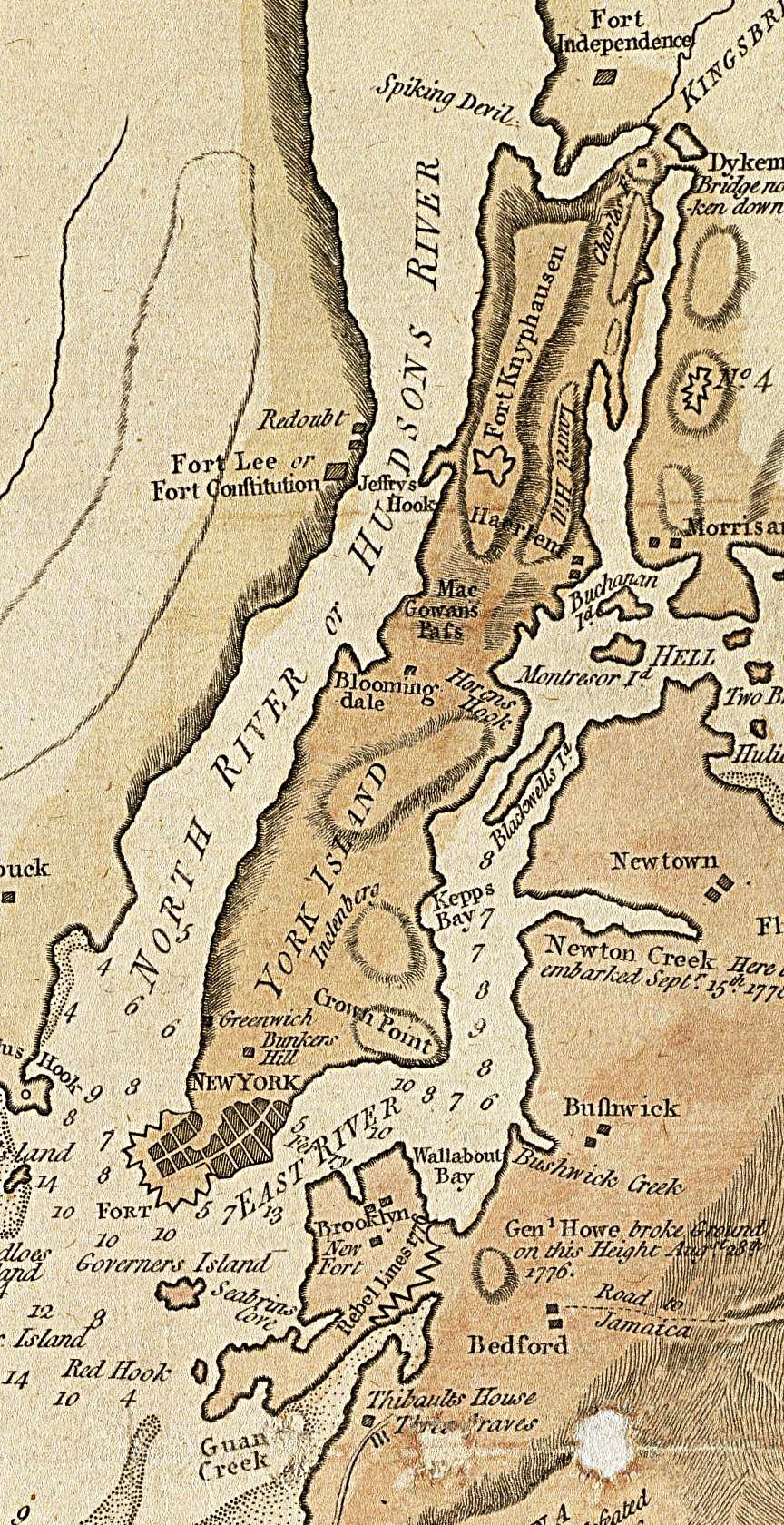
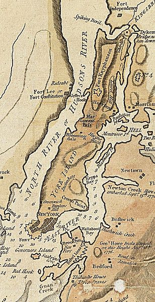
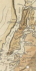
English: A section of a 1781 British map and nautical chart of New York and its harbor. Image has been cropped to show primarily Manhattan, color level adjusted, and sharpened from the original. |
||||
| Date | |||||
| Source | Norman B. Levinson Map Center, Boston Public Library | ||||
| Author | John Lodge, Publisher: Bew, John | ||||
| Permission ( Reusing this file) |
|
||||
File history
Click on a date/time to view the file as it appeared at that time.
| Date/Time | Thumbnail | Dimensions | User | Comment | |
|---|---|---|---|---|---|
| current | 02:16, 16 May 2014 |
| 864 × 1,680 (893 KB) | Beyond My Ken | improve visibility |
| 19:26, 11 December 2009 |
 | 864 × 1,680 (727 KB) | Magicpiano | {{Information |Description={{en|1=A section of a 1781 British map and nautical chart of New York and its harbor. Image has been cropped to show primarily Manhattan, color level adjusted, and sharpened from the original. }} |Source=http://maps.bpl.org/det |
File usage
The following pages on the English Wikipedia use this file (pages on other projects are not listed):
Global file usage
The following other wikis use this file:
- Usage on es.wikipedia.org
- Usage on fr.wikipedia.org
- Usage on hy.wikipedia.org
- Usage on it.wikipedia.org
- Usage on ja.wikipedia.org
- Usage on vi.wikipedia.org