Size of this preview:
476 × 600 pixels. Other resolutions:
190 × 240 pixels |
381 × 480 pixels |
610 × 768 pixels |
813 × 1,024 pixels |
1,799 × 2,266 pixels.
Original file (1,799 × 2,266 pixels, file size: 585 KB, MIME type: image/jpeg)
| This is a file from the
Wikimedia Commons. Information from its
description page there is shown below. Commons is a freely licensed media file repository. You can help. |
_(12794030474).jpg)
Summary
| Description |
|
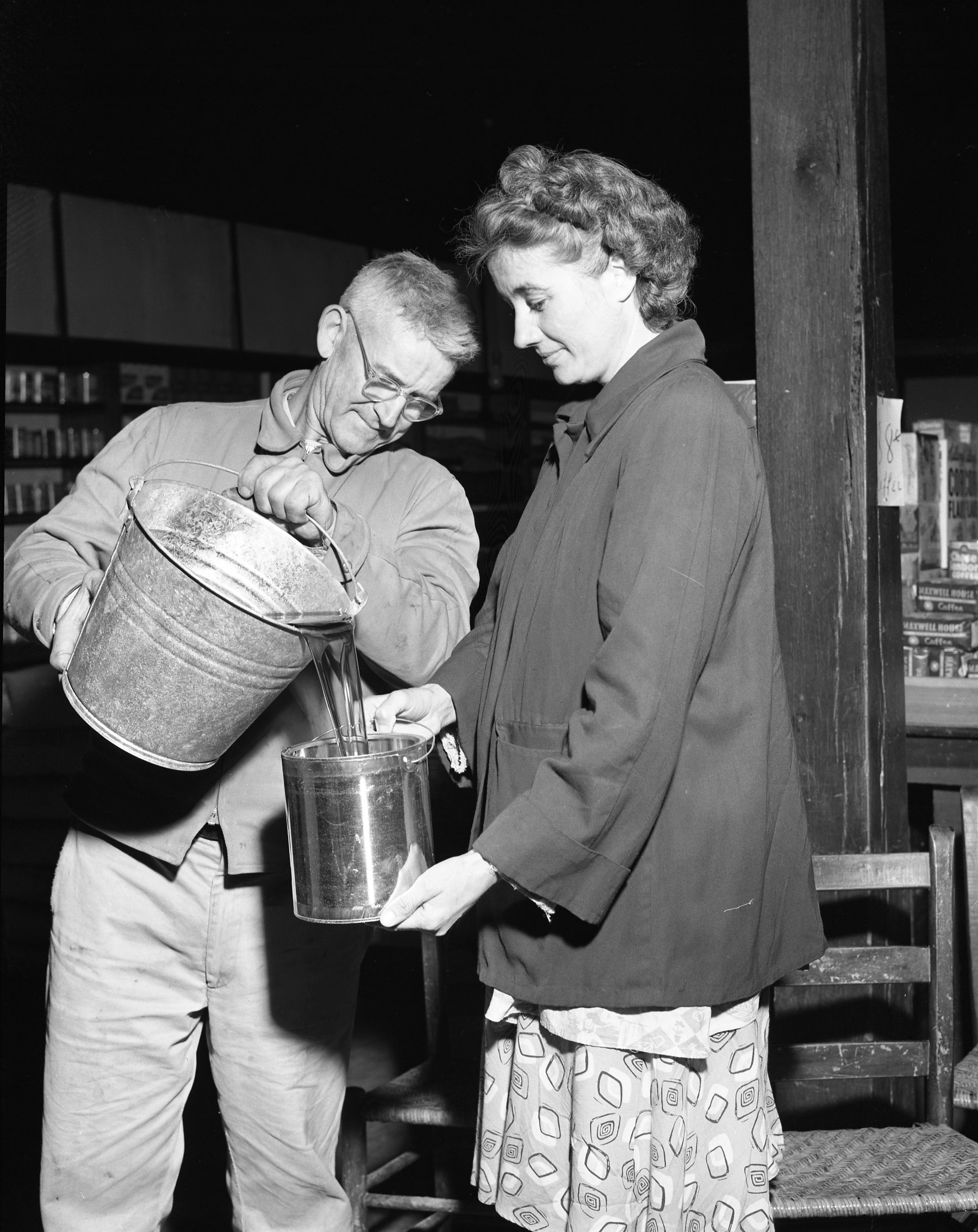
| Source | Making Maple Syrup (MSA) |
| Author | Missouri State Archives |
| Camera location |
| View this and other nearby images on: OpenStreetMap |
|
|---|
_(12794030474).jpg¶ms=037.619789_N_-090.029568_E_globe:Earth_type:camera_source:Flickr_&language=en)
Licensing
This image was taken from
Flickr's
The Commons. The uploading organization may have various reasons for determining that no known copyright restrictions exist, such as:
More information can be found at https://flickr.com/commons/usage/. Please add additional copyright tags to this image if more specific information about copyright status can be determined. See Commons:Licensing for more information. |
| This image was originally posted to Flickr by MissouriStateArchives at https://flickr.com/photos/62812729@N06/12794030474. It was reviewed on 16 January 2017 by FlickreviewR and was confirmed to be licensed under the terms of the No known copyright restrictions. |
File history
Click on a date/time to view the file as it appeared at that time.
| Date/Time | Thumbnail | Dimensions | User | Comment | |
|---|---|---|---|---|---|
| current | 23:53, 16 January 2017 |
| 1,799 × 2,266 (585 KB) | Kingofthedead | Transferred from Flickr via Flickr2Commons |
File usage
The following pages on the English Wikipedia use this file (pages on other projects are not listed):
Global file usage
The following other wikis use this file:
- Usage on ar.wikipedia.org
- Usage on bn.wikipedia.org
- Usage on id.wikipedia.org
- Usage on ru.wikipedia.org
- Usage on th.wikipedia.org
_(12794030474).jpg)