
Size of this preview:
800 × 600 pixels. Other resolutions:
320 × 240 pixels |
640 × 480 pixels |
1,024 × 768 pixels |
1,280 × 960 pixels |
2,560 × 1,920 pixels |
3,072 × 2,304 pixels.
Original file (3,072 × 2,304 pixels, file size: 928 KB, MIME type: image/jpeg)
| This is a file from the
Wikimedia Commons. Information from its
description page there is shown below. Commons is a freely licensed media file repository. You can help. |
Summary
|
This is an image of a place or building that is listed on the
National Register of Historic Places in the
United States of America. Its reference number is
66000433. |
| Description |
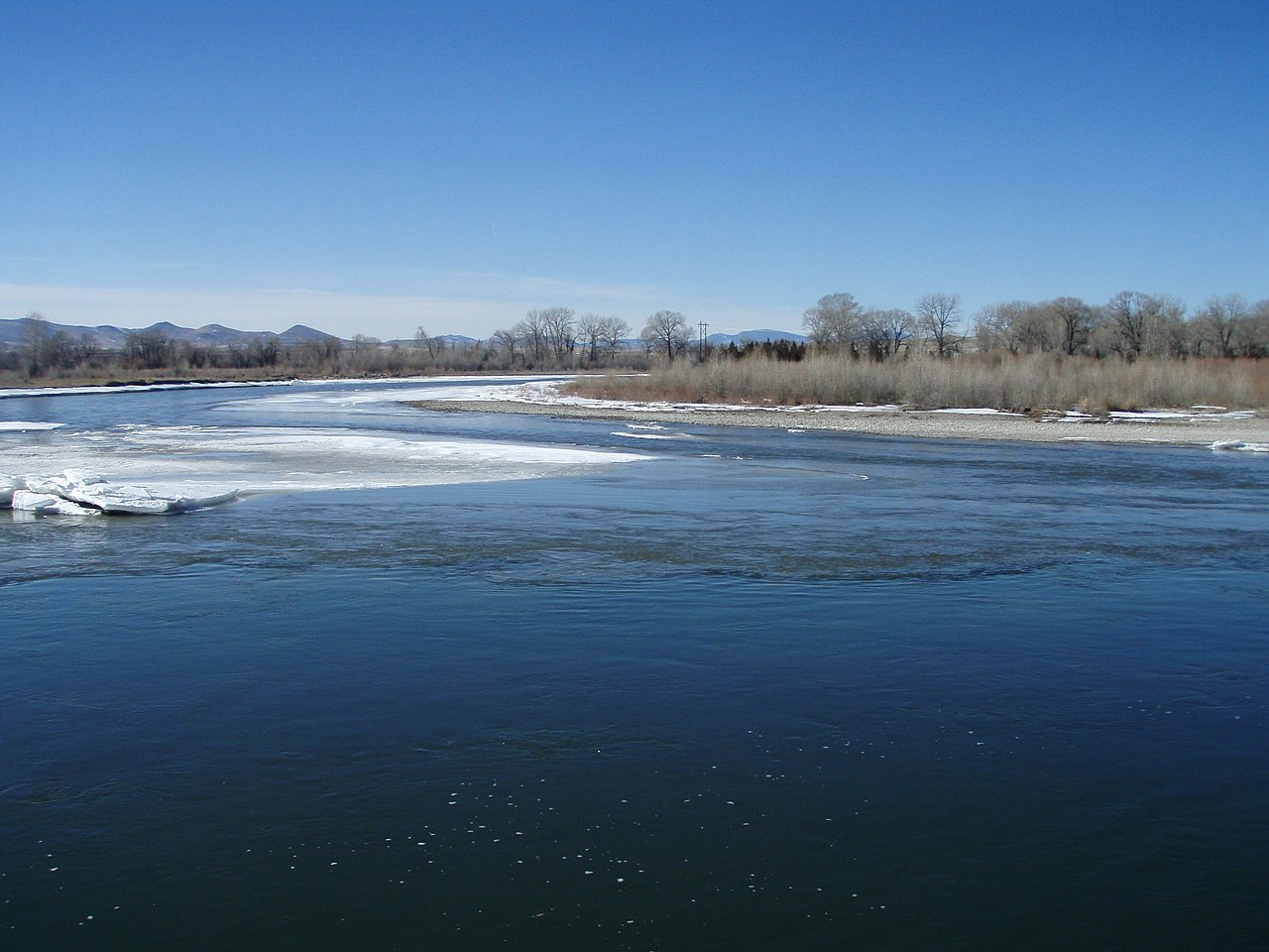
English:
Confluence of the
Madison River and
Jefferson River — headwaters of the
Missouri River in
Montana.
|
| Date | |
| Source | Own work |
| Author | Mike Cline |
| Object location |
| View this and other nearby images on: OpenStreetMap |
|
|---|
Licensing
| I, the copyright holder of this work, release this work into the
public domain. This applies worldwide. In some countries this may not be legally possible; if so: I grant anyone the right to use this work for any purpose, without any conditions, unless such conditions are required by law. |
File history
Click on a date/time to view the file as it appeared at that time.
| Date/Time | Thumbnail | Dimensions | User | Comment | |
|---|---|---|---|---|---|
| current | 15:01, 22 February 2009 |
| 3,072 × 2,304 (928 KB) | Mike Cline | {{Information |Description={{en|1=Confluence of the Madision and Jefferson rivers at Three Forks, Montana}} |Source=Own work by uploader |Author= Mike Cline |Date=2009-02-21 |Permission= |other_versions= }} <!--{{ImageUpload|full}}--> |
File usage
The following pages on the English Wikipedia use this file (pages on other projects are not listed):
Global file usage
The following other wikis use this file:
- Usage on ceb.wikipedia.org
- Usage on de.wikipedia.org
- Usage on en.wikivoyage.org
- Usage on es.wikipedia.org
- Usage on fr.wikipedia.org
- Usage on it.wikivoyage.org
- Usage on pt.wikipedia.org
- Usage on ru.wikipedia.org
- Usage on tr.wikipedia.org
- Usage on www.wikidata.org