
Size of this preview:
800 × 600 pixels. Other resolutions:
320 × 240 pixels |
640 × 480 pixels |
1,024 × 768 pixels |
1,280 × 960 pixels |
2,720 × 2,040 pixels.
Original file (2,720 × 2,040 pixels, file size: 420 KB, MIME type: image/jpeg)
| This is a file from the
Wikimedia Commons. Information from its
description page there is shown below. Commons is a freely licensed media file repository. You can help. |
Summary
| Description |
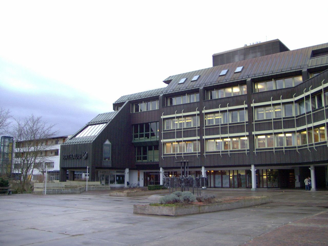
Deutsch: Mössingens Neues Rathaus von Nordosten aus gesehen. |
| Date | |
| Source | Eigene Fotografie vom Januar 2007. |
| Author | Benutzer:Michael Fiegle |
| Object location |
| View this and other nearby images on: OpenStreetMap |
|
|---|
| Camera location |
| View this and other nearby images on: OpenStreetMap |
|
|---|
Licensing

|
Permission is granted to copy, distribute and/or modify this document under the terms of the GNU Free Documentation License, Version 1.2 or any later version published by the Free Software Foundation; with no Invariant Sections, no Front-Cover Texts, and no Back-Cover Texts. A copy of the license is included in the section entitled GNU Free Documentation License. |
| This file is licensed under the Creative Commons Attribution-Share Alike 3.0 Unported license. | ||
| ||
| This licensing tag was added to this file as part of the GFDL licensing update. |
Original upload log
Transferred from de.wikipedia to Commons by Wdwdbot using CommonsHelper.
The original description page was
here. All following user names refer to de.wikipedia.
- 2007-01-16 10:41 Michael Fiegle 2720×2040× (430171 bytes) Mössingens Neues Rathaus von Nordosten aus gesehen. Eigene Fotografie vom Januar 2007.
File history
Click on a date/time to view the file as it appeared at that time.
| Date/Time | Thumbnail | Dimensions | User | Comment | |
|---|---|---|---|---|---|
| current | 12:05, 19 January 2013 |
| 2,720 × 2,040 (420 KB) | File Upload Bot (Magnus Manske) | Transfered from de.wikipedia by User:wdwdbot using CommonsHelper |
File usage
The following pages on the English Wikipedia use this file (pages on other projects are not listed):
Global file usage
The following other wikis use this file:
- Usage on eo.wikipedia.org
- Usage on lv.wikipedia.org
- Usage on uk.wikipedia.org