Size of this preview:
457 × 600 pixels. Other resolutions:
183 × 240 pixels |
366 × 480 pixels.
Original file (800 × 1,050 pixels, file size: 85 KB, MIME type: image/jpeg)
| This image has source information, but it either links directly to the image or is a generic base
URL, or is not an Internet source for an image that was likely found on the Internet. Source information should be provided so that the
copyright status can be verified by others. It is requested that a better source be provided to make determination of the copyright information easier. Please provide a URL to an
HTML page that contains this image. See
Wikipedia:Citing sources#Multimedia for more information.
Please remove this template once better source information is provided. Notify the uploader with: {{subst: bsr-user|1=File:Logan Square.jpg}} ~~~~ |
Summary
| Description |
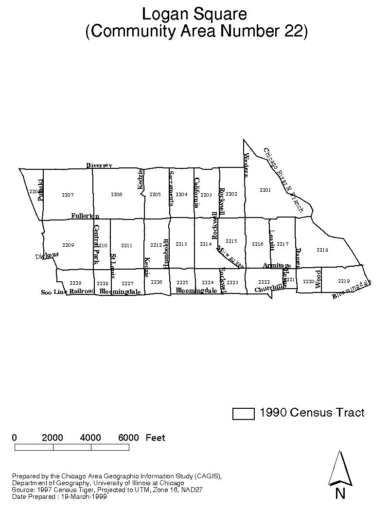
Map of Logan Square areas | ||
|---|---|---|---|
| Source |
This map was created by the U.S. government as part of the 1990 census tracts and community area boundaries for Chicago, Il. Works by the U. S. government are not eligible for U. S. copyright protection and are in the public domain. | ||
| Date | |||
| Author |
| ||
| Permission ( Reusing this file) |
See below.
|
Licensing
| This image is a work of a United States Census Bureau employee, taken or made as part of that person's official duties. As a work of the U.S. federal government, the image is in the public domain in the United States. |
 |
| This media file is either in the public domain or published under a free license, and contains no inbound file links. If this media file is useful, then it should be transferred to the Wikimedia Commons. If this media is not useful, then please propose it for deletion or list it at files for discussion. |
File history
Click on a date/time to view the file as it appeared at that time.
| Date/Time | Thumbnail | Dimensions | User | Comment | |
|---|---|---|---|---|---|
| current | 19:27, 27 August 2006 |
| 800 × 1,050 (85 KB) | Loganresident ( talk | contribs) | This map was created by the U.S. government as part of the 1990 census tracts and community area boundaries for Chicago, Il. Works by the U. S. government are not eligible for U. S. copyright protection and are in the public domain. |
You cannot overwrite this file.
File usage
No pages on the English Wikipedia use this file (pages on other projects are not listed).