
Size of this preview:
800 × 532 pixels. Other resolutions:
320 × 213 pixels |
640 × 426 pixels |
1,024 × 681 pixels |
1,280 × 851 pixels |
2,560 × 1,702 pixels |
6,016 × 4,000 pixels.
Original file (6,016 × 4,000 pixels, file size: 6.11 MB, MIME type: image/jpeg)
| This is a file from the
Wikimedia Commons. Information from its
description page there is shown below. Commons is a freely licensed media file repository. You can help. |
| Camera location |
| View this and other nearby images on: OpenStreetMap |
|
|---|
| Description |
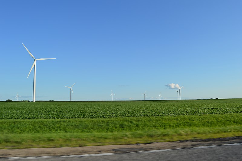
English: A wind farm in northeastern
Orvil Township,
Logan County,
Illinois,
United States. Photo looks south from
U.S. Route 136 approximately three miles east of
Interstate 155. |
||
| Date | Taken on 4 July 2014 | ||
| Source | Own work | ||
| Author | Nyttend | ||
| Permission ( Reusing this file) |
|
File history
Click on a date/time to view the file as it appeared at that time.
| Date/Time | Thumbnail | Dimensions | User | Comment | |
|---|---|---|---|---|---|
| current | 03:46, 9 August 2014 |
| 6,016 × 4,000 (6.11 MB) | Nyttend | {{Location|40|18|34.5|N|89|22|36|W}} {{Information |Description={{en|A wind farm in northeastern {{w|Orvil Township, Logan County, Illinois|Orvil Township}}, {{w|Logan County, Illinois|Logan County}}, {{w|Illinois}}, {{w|United States}}. Photo looks s... |
File usage
The following pages on the English Wikipedia use this file (pages on other projects are not listed):
Global file usage
The following other wikis use this file:
- Usage on es.wikipedia.org
- Usage on eu.wikipedia.org
- Usage on fr.wikipedia.org
- Usage on ur.wikipedia.org
- Usage on vi.wikipedia.org
- Usage on www.wikidata.org