
Size of this PNG preview of this SVG file:
538 × 599 pixels. Other resolutions:
216 × 240 pixels |
431 × 480 pixels |
690 × 768 pixels |
920 × 1,024 pixels |
1,839 × 2,048 pixels |
1,173 × 1,306 pixels.
Original file (SVG file, nominally 1,173 × 1,306 pixels, file size: 5.92 MB)
| This is a file from the
Wikimedia Commons. Information from its
description page there is shown below. Commons is a freely licensed media file repository. You can help. |
Summary
| Description |
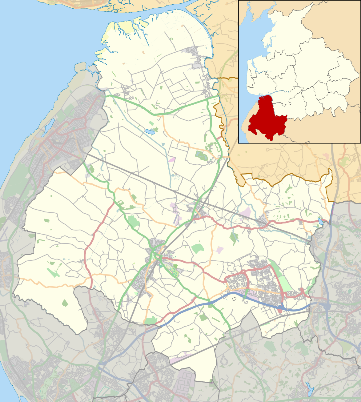
English: Map of the Borough of
West Lancashire, England.
Equirectangular map projection on WGS 84 datum, with N/S stretched 165% Geographic limits:
|
| Date | |
| Source |
This file was derived from:
West Lancashire UK ward map 2010 (blank).svg:
|
| Author |
|
.svg)
Licensing
|
|
This work contains information from
OpenStreetMap, which is made available under the
Open Database License (ODbL).
The ODbL does not require any particular license for maps produced from ODbL data. Prior to 1 August 2020, map tiles produced by the OpenStreetMap Foundation were licensed under the CC-BY-SA-2.0 license. Maps produced by other people may be subject to other licences. |
This file is licensed under the
Creative Commons
Attribution-Share Alike 2.0 Generic license.
Attribution: © OpenStreetMap contributors. Contains Ordnance Survey data © Crown copyright and database right 2012.
- You are free:
- to share – to copy, distribute and transmit the work
- to remix – to adapt the work
- Under the following conditions:
- attribution – You must give appropriate credit, provide a link to the license, and indicate if changes were made. You may do so in any reasonable manner, but not in any way that suggests the licensor endorses you or your use.
- share alike – If you remix, transform, or build upon the material, you must distribute your contributions under the same or compatible license as the original.
File history
Click on a date/time to view the file as it appeared at that time.
| Date/Time | Thumbnail | Dimensions | User | Comment | |
|---|---|---|---|---|---|
| current | 21:44, 31 July 2014 |
| 1,173 × 1,306 (5.92 MB) | Dr Greg | User created page with UploadWizard |
File usage
The following pages on the English Wikipedia use this file (pages on other projects are not listed):
- All Saints Church, Hesketh Bank
- Appley Bridge
- Aughton, Lancashire
- Banks, Lancashire
- Barrow Nook
- Barton, West Lancashire
- Becconsall Old Church
- Bickerstaffe
- Bispham Green
- Blythe Hall, Lathom
- Burscough
- Burscough Priory
- Church of St Peter and St Paul, Ormskirk
- Church of St Thomas the Martyr, Up Holland
- Dalton, Lancashire
- Downholland
- Downholland Cross
- Drummersdale
- Great Altcar
- Greaves Hall
- Halsall
- Haskayne
- Hesketh Bank
- Hilldale, Lancashire
- Holmes, Lancashire
- Holmeswood
- Holy Trinity Church, Tarleton
- Hoscar
- Hundred End
- Lathom
- Lathom South
- Martin Mere
- Mere Brow
- Mere Sands Wood
- Newburgh, Lancashire
- North Meols
- Ormskirk
- Parbold
- Roby Mill
- Rufford, Lancashire
- Rufford New Hall
- Rufford Old Hall
- Scarisbrick
- Scarisbrick Hall
- Shirdley Hill
- Simonswood
- Skelmersdale
- Sollom
- St Cuthbert's Church, Halsall
- St James the Great Church, Wrightington
- St John the Baptist Church, Burscough
- St Mark's Church, Scarisbrick
- St Mary's Church, Tarleton
- St Michael's Church, Aughton
- St Michael and All Angels Church, Altcar
- St Paul's Church, Skelmersdale
- Tarleton
- Tarlscough
- Tower Hill Water Tower
- Up Holland
- Up Holland Priory
- WWT Martin Mere
- West Lancashire
- Westhead
- Wrightington
- Wrightington Bar
- User:PC78/sandbox
- Module:Location map/data/United Kingdom Borough of West Lancashire
- Module:Location map/data/United Kingdom Borough of West Lancashire/doc
Global file usage
The following other wikis use this file:
- Usage on ar.wikipedia.org
- Usage on azb.wikipedia.org
- Usage on fa.wikipedia.org
- Usage on si.wikipedia.org