Size of this preview:
572 × 599 pixels. Other resolutions:
229 × 240 pixels |
458 × 480 pixels |
903 × 946 pixels.
Original file (903 × 946 pixels, file size: 245 KB, MIME type: image/png)
| This is a file from the
Wikimedia Commons. Information from its
description page there is shown below. Commons is a freely licensed media file repository. You can help. |
| Description |
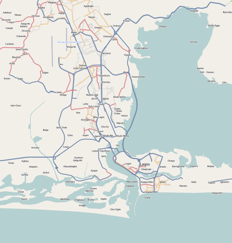
English: Map of Lagos, Nigeria
Geographic limits of the map:
This file is licensed under the
Creative Commons
Attribution-Share Alike 2.0 Generic license.
|
| Date | |
| Source | OpenStreetMap |
| Author | Dr. Blofeld |
File history
Click on a date/time to view the file as it appeared at that time.
| Date/Time | Thumbnail | Dimensions | User | Comment | |
|---|---|---|---|---|---|
| current | 14:48, 15 December 2015 |
| 903 × 946 (245 KB) | Jamie Tubers | Reverted to version as of 22:26, 7 November 2010 (UTC) eko atlantic is not part of metropolitan Lagos |
| 22:14, 4 April 2015 |
 | 903 × 946 (300 KB) | Jamie Tubers | Updated the map...now with Eko Atlantic, the city still under construction | |
| 22:26, 7 November 2010 |
 | 903 × 946 (245 KB) | Blofeld Dr. | {{Information |Description={{en|1=r}} |Source=r |Author=r |Date=r |Permission= |other_versions= }} |
File usage
The following pages on the English Wikipedia use this file (pages on other projects are not listed):
Global file usage
The following other wikis use this file:
- Usage on bn.wikipedia.org
- Usage on eo.wikipedia.org
- Usage on fa.wikipedia.org
- Usage on fr.wikipedia.org
- Usage on hy.wikipedia.org
- Usage on id.wikipedia.org
- Usage on kcg.wikipedia.org
- Usage on kn.wikipedia.org
- Usage on mni.wikipedia.org
- Usage on pap.wikipedia.org
- Usage on pt.wikipedia.org
- Usage on rw.wikipedia.org
- Usage on si.wikipedia.org
- Usage on tl.wikipedia.org
- Usage on tr.wikipedia.org
- Usage on ur.wikipedia.org
- Usage on www.wikidata.org
- Usage on zh.wikipedia.org