
Size of this preview:
752 × 600 pixels. Other resolutions:
301 × 240 pixels |
602 × 480 pixels |
963 × 768 pixels |
1,280 × 1,021 pixels |
2,045 × 1,631 pixels.
Original file (2,045 × 1,631 pixels, file size: 511 KB, MIME type: image/png)
| This is a file from the
Wikimedia Commons. Information from its
description page there is shown below. Commons is a freely licensed media file repository. You can help. |
| Description |
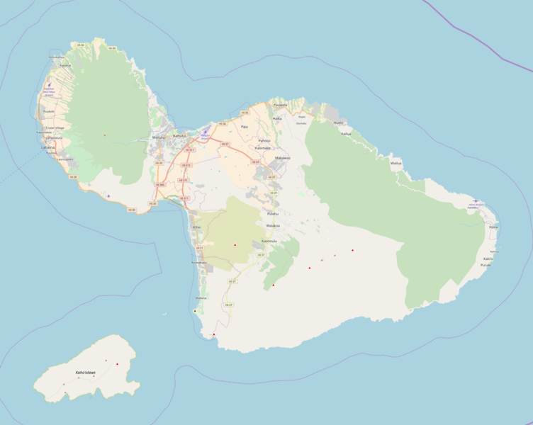
This map of Maui was created from
OpenStreetMap project data, collected by the community. This map may be incomplete, and may contain errors. Don't rely solely on it for navigation. |
|||||||||
| Date | (see file history) | |||||||||
| Source | openstreetmap.org | |||||||||
| Creator |
OpenStreetMap contributors |
|||||||||
| Permission ( Reusing this file) |
OpenStreetMap data and maps are licensed under the
Creative Commons Attribution-ShareAlike 2.0 license (CC-BY-SA 2.0). This file is licensed under the
Creative Commons
Attribution-Share Alike 2.0 Generic license.
|
|||||||||
| Geotemporal data | ||||||||||
| Bounding box |
|
|||||||||
| Georeferencing | If inappropriate please set warp_status = skip to hide. | |||||||||
File history
Click on a date/time to view the file as it appeared at that time.
| Date/Time | Thumbnail | Dimensions | User | Comment | |
|---|---|---|---|---|---|
| current | 17:10, 25 October 2017 |
| 2,045 × 1,631 (511 KB) | Mliu92 | Improved colors, newer map. |
| 09:53, 14 February 2012 |
 | 955 × 716 (179 KB) | Viriditas | {{OpenStreetMap |location= Maui |top= 21.046 |bottom= 20.49 |left= -156.748 |right= -155.955 }} Category:OpenStreetMap maps of Hawaii Category:Maps of Maui County, Hawaii |
File usage
The following pages on the English Wikipedia use this file (pages on other projects are not listed):
- Bailey House Museum
- Chee Kung Tong Society Building
- Chinese Society Halls on Maui
- Crater Historic District
- Fred C. Baldwin Memorial Home
- Haiku Mill
- Halekiʻi-Pihana Heiau State Monument
- Hana Airport
- Holy Ghost Catholic Church (Kula, Hawaii)
- Iao Valley
- Kaahumanu Church
- Kalepolepo Fishpond
- Kaupo School
- Keanae School
- Lahaina Banyan Court Park
- Lahaina Heritage Museum
- Lahaina Historic District
- Lahainaluna High School
- Makawao Union Church
- Maria Lanakila Catholic Church
- Mokuʻula
- Molokini
- Paia Elementary School
- Pioneer Inn
- Pools of 'Ohe'o
- Puunene School
- United States Marine Hospital (Lahaina, Hawaii)
- Waihee Church
- Wailuku Civic Center Historic District
- Wailuku Elementary School
- Waiola Church
- Waiʻanapanapa State Park
- Wananalua Congregational Church
- Wo Hing Society Hall
- ʻĪao Theater
- Module:Location map/data/United States Maui
- Module:Location map/data/United States Maui/doc
Global file usage
The following other wikis use this file:
- Usage on fr.wikipedia.org
- Usage on pl.wikipedia.org
- Usage on si.wikipedia.org
- Usage on uz.wikipedia.org