
Size of this preview:
800 × 407 pixels. Other resolutions:
320 × 163 pixels |
640 × 326 pixels |
1,024 × 521 pixels |
1,280 × 651 pixels |
2,759 × 1,404 pixels.
Original file (2,759 × 1,404 pixels, file size: 50 KB, MIME type: image/png)
| This is a file from the
Wikimedia Commons. Information from its
description page there is shown below. Commons is a freely licensed media file repository. You can help. |

|
File:Antarctica Location.svg is a vector version of this file. It should be used in place of this PNG file when not inferior.
File:LocationAntarctica.png →
File:Antarctica Location.svg
For more information, see
Help:SVG. |
 |
Summary
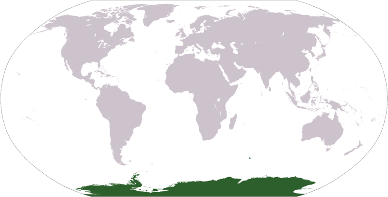
Español: Mapamundi mostrando la ubicación de la Antártida.
World map depicting Antarctica; map adapted from PDF world map at CIA World Fact Book.
Updated March 31, 2006 to remove green above 60°S line. in december there is 24 hours of sun light
Licensing
This image is in the
public domain because it contains materials that originally came from the United States
Central Intelligence Agency's
World Factbook.
|
 |
File history
Click on a date/time to view the file as it appeared at that time.
| Date/Time | Thumbnail | Dimensions | User | Comment | |
|---|---|---|---|---|---|
| current | 17:13, 23 April 2013 |
| 2,759 × 1,404 (50 KB) | User02062000 | |
| 17:10, 23 April 2013 |
 | 2,759 × 1,404 (50 KB) | User02062000 | Reverted to version as of 18:54, 20 December 2005 | |
| 12:37, 19 January 2008 |
 | 2,759 × 1,404 (97 KB) | F l a n k e r | Transparency | |
| 01:04, 31 March 2006 |
 | 2,759 × 1,404 (55 KB) | David Kernow~commonswiki | ||
| 18:54, 20 December 2005 |
 | 2,759 × 1,404 (50 KB) | E Pluribus Anthony~commonswiki | World map: Antarctica (location) | |
| 12:38, 28 April 2005 |
 | 2,759 × 1,404 (39 KB) | Ghalas | Extracted from CIA World Factbook PDF world map, then rasterized and colored. {{PD-USGov-CIA-WF}} |
File usage
The following pages on the English Wikipedia use this file (pages on other projects are not listed):
- Antarctic realm
- List of biogeographic provinces
- Talk:Antarctica/Archive 2
- User:David Kernow/Template:Continents of the world
- User:David Kernow/Wikipedia:Browse
- User:Nurg/Template:Continents of the world
- User:Ooga Booga/Temp-10
- Category:Antarctic realm
- Category:Antarctic realm biota
- Category:Antarctic realm fauna
- Category:Antarctic region
- Category:Antarctica
- Category:Biota of Antarctica
- Category:Catholic Church in Antarctica
- Category:Environment of Antarctica
- Category:Fauna of Antarctica
- Category:Fauna of subantarctic islands
- Category:Flora of Antarctica
- Category:Flora of the Antarctic
- Category:Fungi of Antarctica
- Category:Lichens of Antarctica
- Category:Lichens of the Antarctic
- Category:Natural history of Antarctica
- Category:Prehistoric vertebrates of Antarctica
- Category:Subantarctic
- Category:Vertebrates of Antarctica
Global file usage
The following other wikis use this file:
- Usage on af.wikipedia.org
- Usage on am.wikipedia.org
- Usage on ang.wikipedia.org
- Usage on arc.wikipedia.org
- Usage on ar.wikipedia.org
- Usage on arz.wikipedia.org
- Usage on ba.wikipedia.org
- Usage on bcl.wikipedia.org
- Usage on be-tarask.wikipedia.org
- Usage on bjn.wikipedia.org
- Usage on bn.wikipedia.org
- Usage on bo.wikipedia.org
- Usage on bpy.wikipedia.org
- Usage on br.wikipedia.org
View more global usage of this file.