Size of this preview:
800 × 533 pixels. Other resolutions:
320 × 213 pixels |
640 × 427 pixels |
1,024 × 683 pixels |
1,470 × 980 pixels.
Original file (1,470 × 980 pixels, file size: 731 KB, MIME type: image/jpeg)
| This is a file from the
Wikimedia Commons. Information from its
description page there is shown below. Commons is a freely licensed media file repository. You can help. |
Summary
| Description |
English:
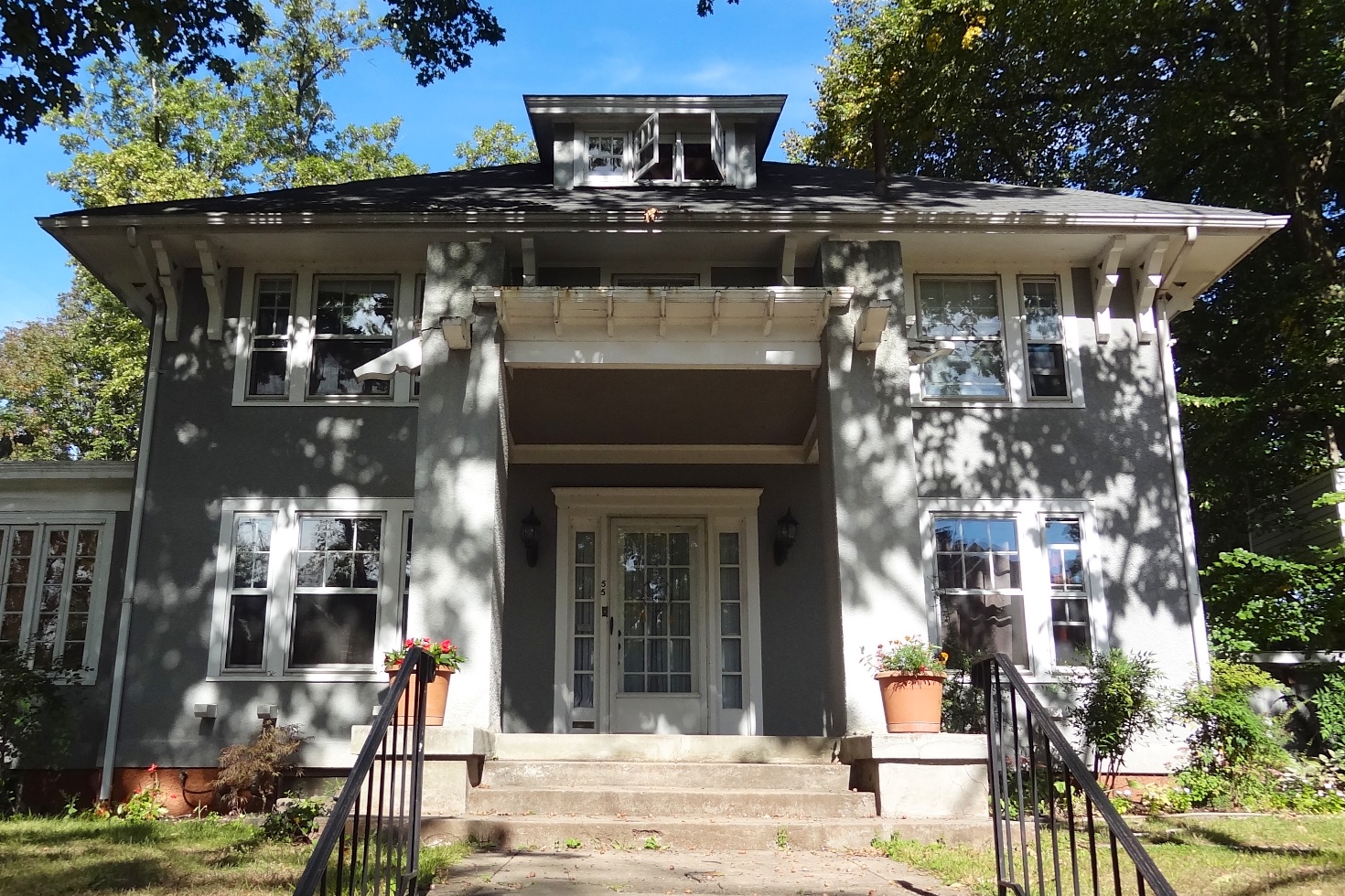
Livingston Manor Historic District
55 Harrison Avenue Contributing Property #178 Georgian Revival
|
||
| Date | Taken on 25 September 2013, 10:29:18 | ||
| Source | Own work | ||
| Author | Zeete |
| Camera location | | View this and other nearby images on: OpenStreetMap |
|
|---|
Licensing
I, the copyright holder of this work, hereby publish it under the following license:
This file is licensed under the
Creative Commons
Attribution-Share Alike 3.0 Unported license.
- You are free:
- to share – to copy, distribute and transmit the work
- to remix – to adapt the work
- Under the following conditions:
- attribution – You must give appropriate credit, provide a link to the license, and indicate if changes were made. You may do so in any reasonable manner, but not in any way that suggests the licensor endorses you or your use.
- share alike – If you remix, transform, or build upon the material, you must distribute your contributions under the same or compatible license as the original.

|
This image was uploaded as part of
Wiki Loves Monuments 2013.
|
 |
File history
Click on a date/time to view the file as it appeared at that time.
| Date/Time | Thumbnail | Dimensions | User | Comment | |
|---|---|---|---|---|---|
| current | 23:02, 28 September 2013 |
| 1,470 × 980 (731 KB) | Zeete | User created page with UploadWizard |
File usage
The following pages on the English Wikipedia use this file (pages on other projects are not listed):