No higher resolution available.
Lisianski_map_lrg.gif (600 × 539 pixels, file size: 16 KB, MIME type: image/gif)
| This is a file from the
Wikimedia Commons. Information from its
description page there is shown below. Commons is a freely licensed media file repository. You can help. |
Summary
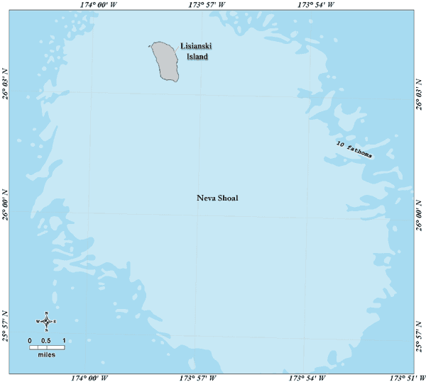
| Description |
Deutsch: Bathymetrische Karte der der Insel Lisianski, Nordwestliche Hawaii-Inseln
English: Bathymetric map of Lisianski Island with Neva Shoals, Northwestern Hawaiian Islands |
| Date | not specified |
| Source | http://www.hawaiireef.noaa.gov/imagery/graphicmaps.html |
| Author | Christine Taylor, NOAA's National Marine Sanctuary Program |
| Permission ( Reusing this file) |
credit to NOAA is preferred |
Licensing
This image is in the
public domain because it contains materials that originally came from the U.S.
National Oceanic and Atmospheric Administration, taken or made as part of an employee's official duties.
|
File history
Click on a date/time to view the file as it appeared at that time.
| Date/Time | Thumbnail | Dimensions | User | Comment | |
|---|---|---|---|---|---|
| current | 10:54, 14 April 2008 |
| 600 × 539 (16 KB) | Telim tor | == Information == {{Information |Description= {{de|Bathymetrische Karte der der Insel Lisianski, Nordwestliche Hawaii-Inseln}} {{en|Bathymetric map of Lisianski Island with Neva Shoals, Northwestern Hawaiian Islands}} |Source=http://www.hawaiireef.noaa.go |
File usage
The following pages on the English Wikipedia use this file (pages on other projects are not listed):
Global file usage
The following other wikis use this file:
- Usage on de.wikipedia.org
- Usage on eo.wikipedia.org
- Usage on frr.wikipedia.org
- Usage on fr.wikipedia.org
- Usage on nl.wikipedia.org
- Usage on pl.wikipedia.org
- Usage on pt.wikipedia.org
- Usage on ru.wikipedia.org
- Usage on vi.wikipedia.org