
Size of this preview:
789 × 600 pixels. Other resolutions:
316 × 240 pixels |
632 × 480 pixels |
1,011 × 768 pixels |
1,280 × 973 pixels |
1,724 × 1,310 pixels.
Original file (1,724 × 1,310 pixels, file size: 1.88 MB, MIME type: image/jpeg)
| This is a file from the
Wikimedia Commons. Information from its
description page there is shown below. Commons is a freely licensed media file repository. You can help. |
| Description |
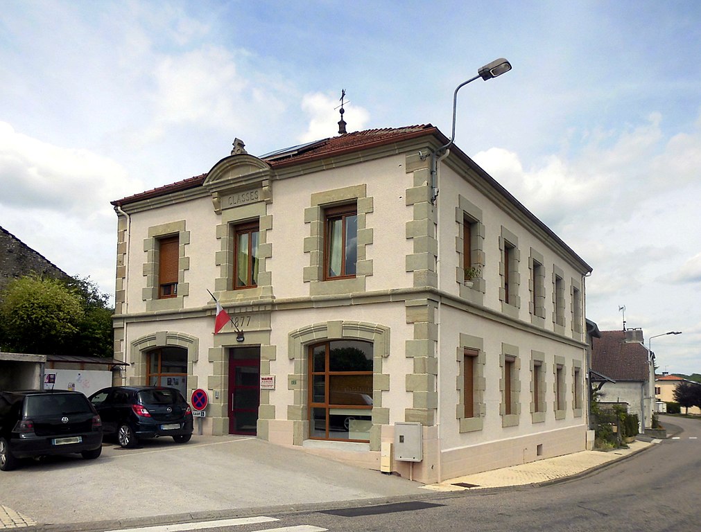
Français : La mairie de
Lironcourt Deutsch: Rathaus der Gemeinde
Lironcourt |
| Date | |
| Source | Self-photographed |
| Author | Rauenstein |
| Permission ( Reusing this file) |
This file is licensed under the
Creative Commons
Attribution-Share Alike 3.0 Unported license.
|
| Object location |
| View this and other nearby images on: OpenStreetMap |
|
|---|
File history
Click on a date/time to view the file as it appeared at that time.
| Date/Time | Thumbnail | Dimensions | User | Comment | |
|---|---|---|---|---|---|
| current | 15:25, 19 July 2017 |
| 1,724 × 1,310 (1.88 MB) | Rauenstein | {{Information |Description={{fr|La mairie de Lironcourt}} {{de|Rathaus der Gemeinde Lironcourt}} |Source=own photograph |Date=2017-07-15 |Author= Rauenstein |Permission={{cc-by-sa-3.0}} |other_ve... |
File usage
The following pages on the English Wikipedia use this file (pages on other projects are not listed):
Global file usage
The following other wikis use this file:
- Usage on ceb.wikipedia.org
- Usage on de.wikipedia.org
- Usage on fr.wikipedia.org
- Usage on www.wikidata.org