
Size of this PNG preview of this SVG file:
499 × 600 pixels. Other resolutions:
200 × 240 pixels |
399 × 480 pixels |
639 × 768 pixels |
852 × 1,024 pixels |
1,704 × 2,048 pixels |
1,086 × 1,305 pixels.
Original file (SVG file, nominally 1,086 × 1,305 pixels, file size: 3.7 MB)
| This is a file from the
Wikimedia Commons. Information from its
description page there is shown below. Commons is a freely licensed media file repository. You can help. |
.svg)
| Description |
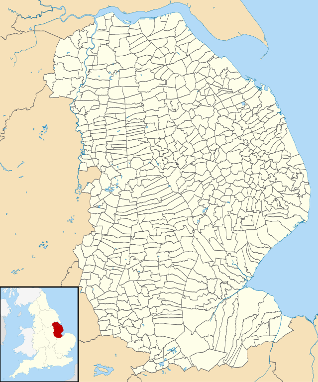
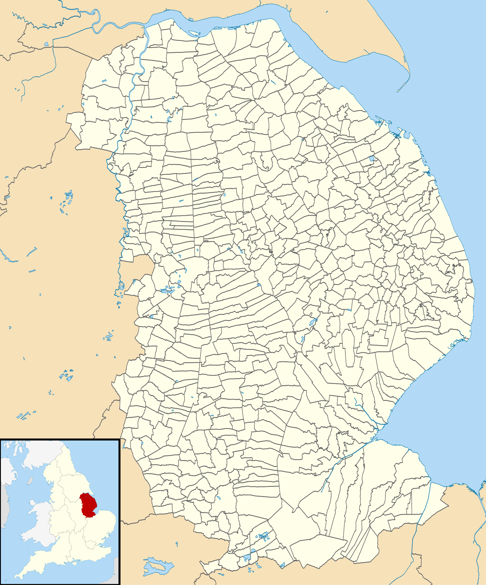
Blank map of Lincolnshire, UK with civil parishes shown. Equirectangular map projection on WGS 84 datum, with N/S stretched 165% Geographic limits:
|
| Date | |
| Source |
|
| Author | Nilfanion, created using Ordnance Survey data |
| Permission ( Reusing this file) |
This file is licensed under the
Creative Commons
Attribution-Share Alike 3.0 Unported license. Attribution: Contains Ordnance Survey data © Crown copyright and database right
|
| Other versions |
Derivative works of this file: |
.svg)
File history
Click on a date/time to view the file as it appeared at that time.
| Date/Time | Thumbnail | Dimensions | User | Comment | |
|---|---|---|---|---|---|
| current | 17:59, 5 October 2010 |
| 1,086 × 1,305 (3.7 MB) | Nilfanion | {{Information |Description=Blank map of Lincolnshire, UK with civil parishes shown. Equirectangular map projection on WGS 84 datum, with N/S stretched 165% Geographic limits: *West: 1.16W *East: 0.39E *North: 53.75N *South: 52.62N |So |
File usage
The following pages on the English Wikipedia use this file (pages on other projects are not listed):
Global file usage
The following other wikis use this file:
- Usage on ca.wikipedia.org
- Usage on fi.wikipedia.org
.svg)