Size of this preview:
652 × 599 pixels. Other resolutions:
261 × 240 pixels |
522 × 480 pixels |
863 × 793 pixels.
Original file (863 × 793 pixels, file size: 244 KB, MIME type: image/jpeg)
| This is a file from the
Wikimedia Commons. Information from its
description page there is shown below. Commons is a freely licensed media file repository. You can help. |
Summary
| Description |
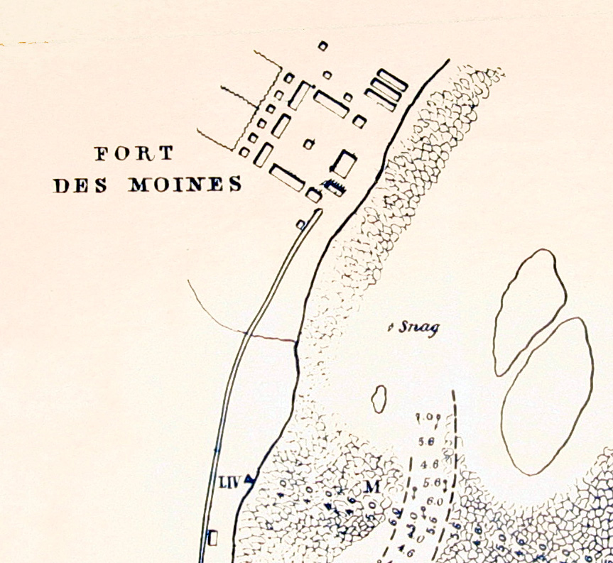
English: Portion of a map by
Robert E. Lee showing Fort Des Moines (later
Montrose) at the head of the
Des Moines Rapids in
Iowa, Sept. 1837. |
| Date | (UTC) |
| Source | National Archives, Fortifications map file, Records of the Office of the Chief of Engineers, Record Group 77. |
| Author | Robert E. Lee, assisted by MC Miegs, IS Morehead,, H. Kaysee |
Licensing
This file is a work of a
U.S. Army soldier or employee, taken or made as part of that person's official duties. As a
work of the
U.S. federal government, it is in the
public domain in the United States.
|
 |
Original upload log
The original description page was
here. All following user names refer to en.wikipedia.
| Date/Time | Dimensions | User | Comment |
|---|---|---|---|
| 2010-06-02 12:50 | 863×793× (249355 bytes) | Billwhittaker | {{Information |Description = Portion of a map by [[Robert E. Lee]] showing Fort Des Moines (later [[Montrose, Iowa]]) at the head of the [[Des Moines Rapids]] in [[Iowa]], 1837. |Source = National Archives |Date = ~~~~~ |Author |
File history
Click on a date/time to view the file as it appeared at that time.
| Date/Time | Thumbnail | Dimensions | User | Comment | |
|---|---|---|---|---|---|
| current | 18:59, 13 May 2015 |
| 863 × 793 (244 KB) | Rcbutcher | Transferred from en.wikipedia |
File usage
The following pages on the English Wikipedia use this file (pages on other projects are not listed):