
Size of this preview:
800 × 534 pixels. Other resolutions:
320 × 214 pixels |
640 × 427 pixels |
1,024 × 683 pixels |
1,500 × 1,001 pixels.
Original file (1,500 × 1,001 pixels, file size: 357 KB, MIME type: image/jpeg)
| This is a file from the
Wikimedia Commons. Information from its
description page there is shown below. Commons is a freely licensed media file repository. You can help. |
Summary
| Description |
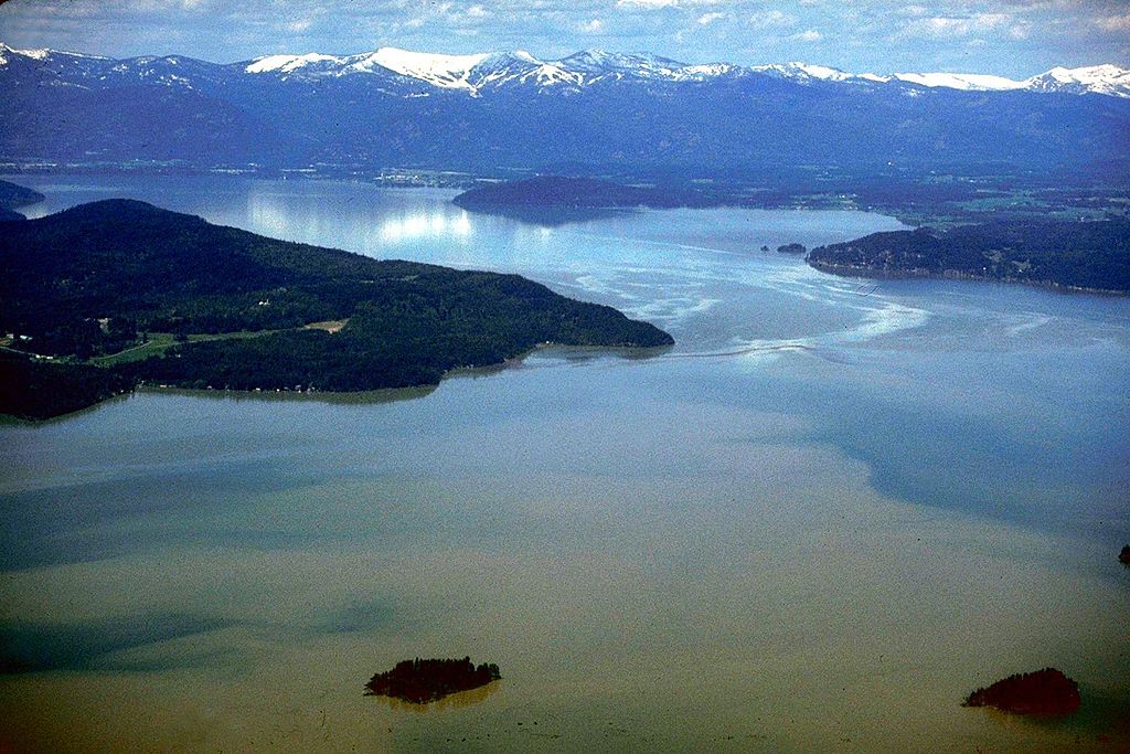
English: Aerial view of Lake Pend Oreille on the Pend Oreille River in 1993. |
|||
| Location | Bonner County, Idaho, USA 48°11′0.55″N 116°20′42.77″W / 48.1834861°N 116.3452139°W |
|||
| Date | ||||
| Source |
U.S. Army Corps of Engineers Digital Visual Library Image page Image description page Digital Visual Library home page |
|||
| Author | U.S. Army Corps of Engineers, photographer not specified or unknown | |||
| Permission ( Reusing this file) |
|
File history
Click on a date/time to view the file as it appeared at that time.
| Date/Time | Thumbnail | Dimensions | User | Comment | |
|---|---|---|---|---|---|
| current | 20:40, 31 August 2009 |
| 1,500 × 1,001 (357 KB) | Martin H. | from File:Lake Pend Oreille.jpg, per uploaders request on COM:HD. |
| 03:48, 17 April 2007 |
 | 1,500 × 1,001 (625 KB) | DanMS | {{Information2 | Description = {{en|Aerial view of Lake Pend Oreille on the Pend Oreille River in 1993.}} | Source = U.S. Army Corps of Engineers Digital Visual Library<br />[http://images.usace.army.mil/images/Hires/4900-29.Jpg Image page]<br |
File usage
The following pages on the English Wikipedia use this file (pages on other projects are not listed):
Global file usage
The following other wikis use this file:
- Usage on ar.wikipedia.org
- Usage on arz.wikipedia.org
- Usage on ceb.wikipedia.org
- Usage on cs.wikipedia.org
- Usage on de.wikipedia.org
- Usage on es.wikipedia.org
- Usage on et.wikipedia.org
- Usage on fr.wikipedia.org
- Usage on id.wikipedia.org
- Usage on it.wikipedia.org
- Usage on nl.wikipedia.org
- Usage on pl.wikipedia.org
- Usage on ru.wikipedia.org
- Usage on sr.wikipedia.org
- Usage on www.wikidata.org
- Usage on xmf.wikipedia.org
- Usage on zh.wikipedia.org