Size of this preview:
800 × 534 pixels. Other resolutions:
320 × 214 pixels |
640 × 427 pixels |
1,024 × 683 pixels |
1,280 × 854 pixels |
2,560 × 1,709 pixels |
7,360 × 4,912 pixels.
Original file (7,360 × 4,912 pixels, file size: 24.35 MB, MIME type: image/jpeg)
| This is a file from the
Wikimedia Commons. Information from its
description page there is shown below. Commons is a freely licensed media file repository. You can help. |
.jpg)
Summary
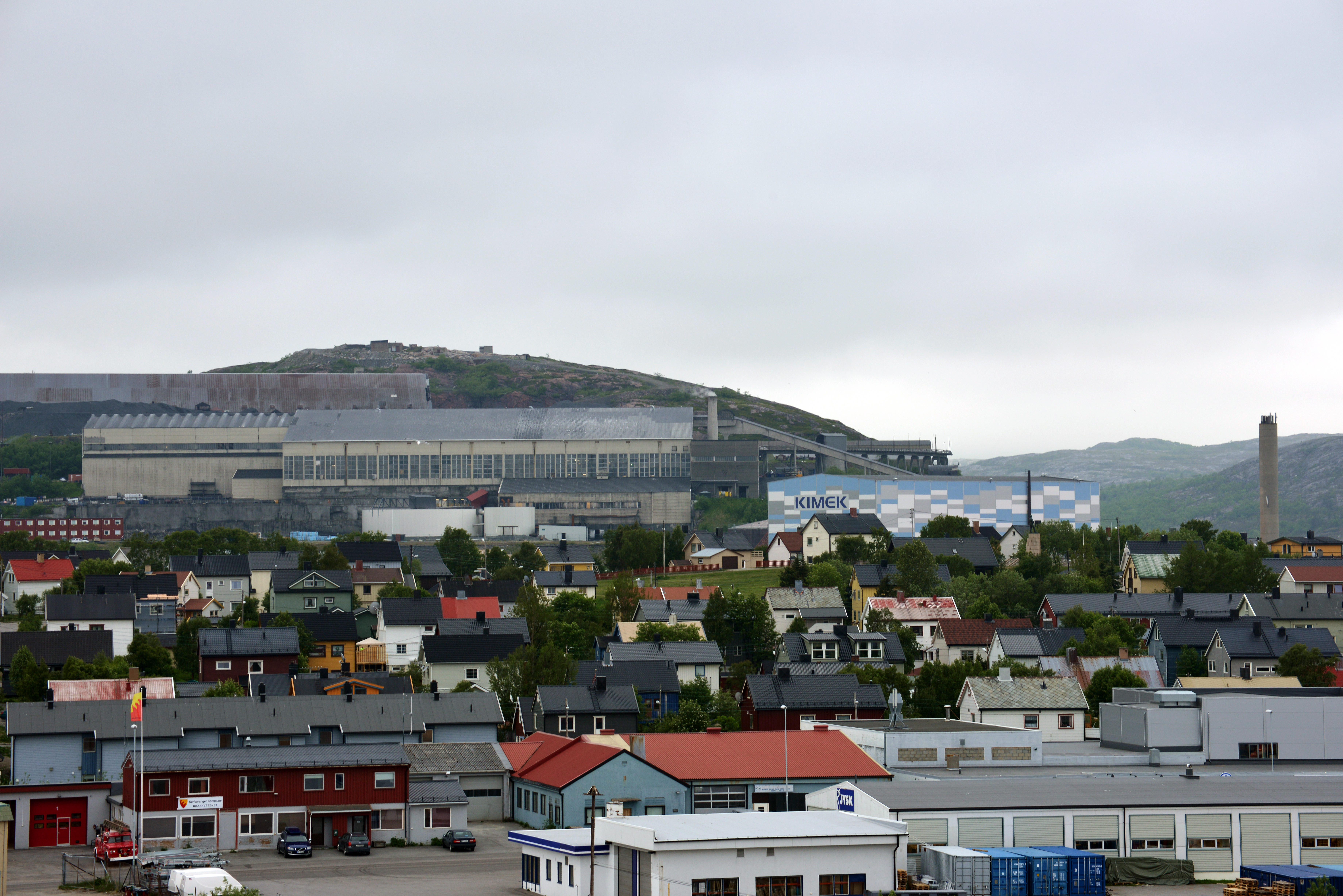
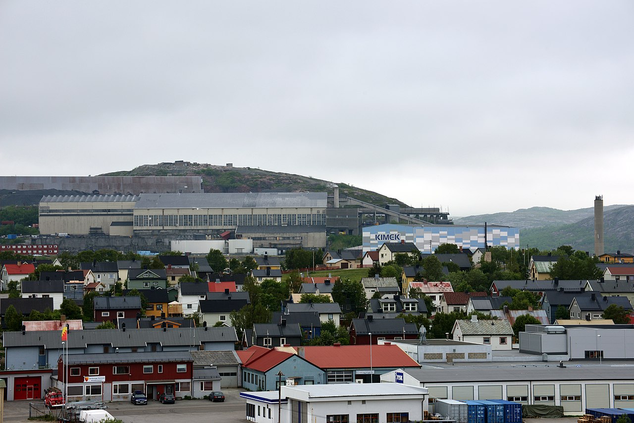
| Description | more Port of Kirkenes |
| Date | |
| Source |
|
| Author | Harvey Barrison from Massapequa, NY, USA |
| Camera location |
| View this and other nearby images on: OpenStreetMap |
|
|---|
.jpg¶ms=069.728606_N_0030.072755_E_globe:Earth_type:camera_source:Flickr_&language=en)
Licensing
This file is licensed under the
Creative Commons
Attribution-Share Alike 2.0 Generic license.
- You are free:
- to share – to copy, distribute and transmit the work
- to remix – to adapt the work
- Under the following conditions:
- attribution – You must give appropriate credit, provide a link to the license, and indicate if changes were made. You may do so in any reasonable manner, but not in any way that suggests the licensor endorses you or your use.
- share alike – If you remix, transform, or build upon the material, you must distribute your contributions under the same or compatible license as the original.
| This image, originally posted to Flickr, was reviewed on 13 November 2013 by the administrator or reviewer File Upload Bot (Magnus Manske), who confirmed that it was available on Flickr under the stated license on that date. |
File history
Click on a date/time to view the file as it appeared at that time.
| Date/Time | Thumbnail | Dimensions | User | Comment | |
|---|---|---|---|---|---|
| current | 18:04, 13 November 2013 |
| 7,360 × 4,912 (24.35 MB) | File Upload Bot (Magnus Manske) | Transferred from Flickr by User:Arsenikk |
File usage
The following pages on the English Wikipedia use this file (pages on other projects are not listed):
Global file usage
The following other wikis use this file:
- Usage on ar.wikipedia.org
- Usage on ja.wikipedia.org
- Usage on mdf.wikipedia.org
- Usage on th.wikipedia.org
- Usage on vi.wikipedia.org
.jpg)