
Size of this preview:
800 × 600 pixels. Other resolutions:
320 × 240 pixels |
640 × 480 pixels |
1,024 × 768 pixels |
1,280 × 960 pixels |
1,984 × 1,488 pixels.
Original file (1,984 × 1,488 pixels, file size: 1.31 MB, MIME type: image/jpeg)
| This is a file from the
Wikimedia Commons. Information from its
description page there is shown below. Commons is a freely licensed media file repository. You can help. |
Summary
| Camera location |
| View this and other nearby images on: OpenStreetMap |
|
|---|
| Description |
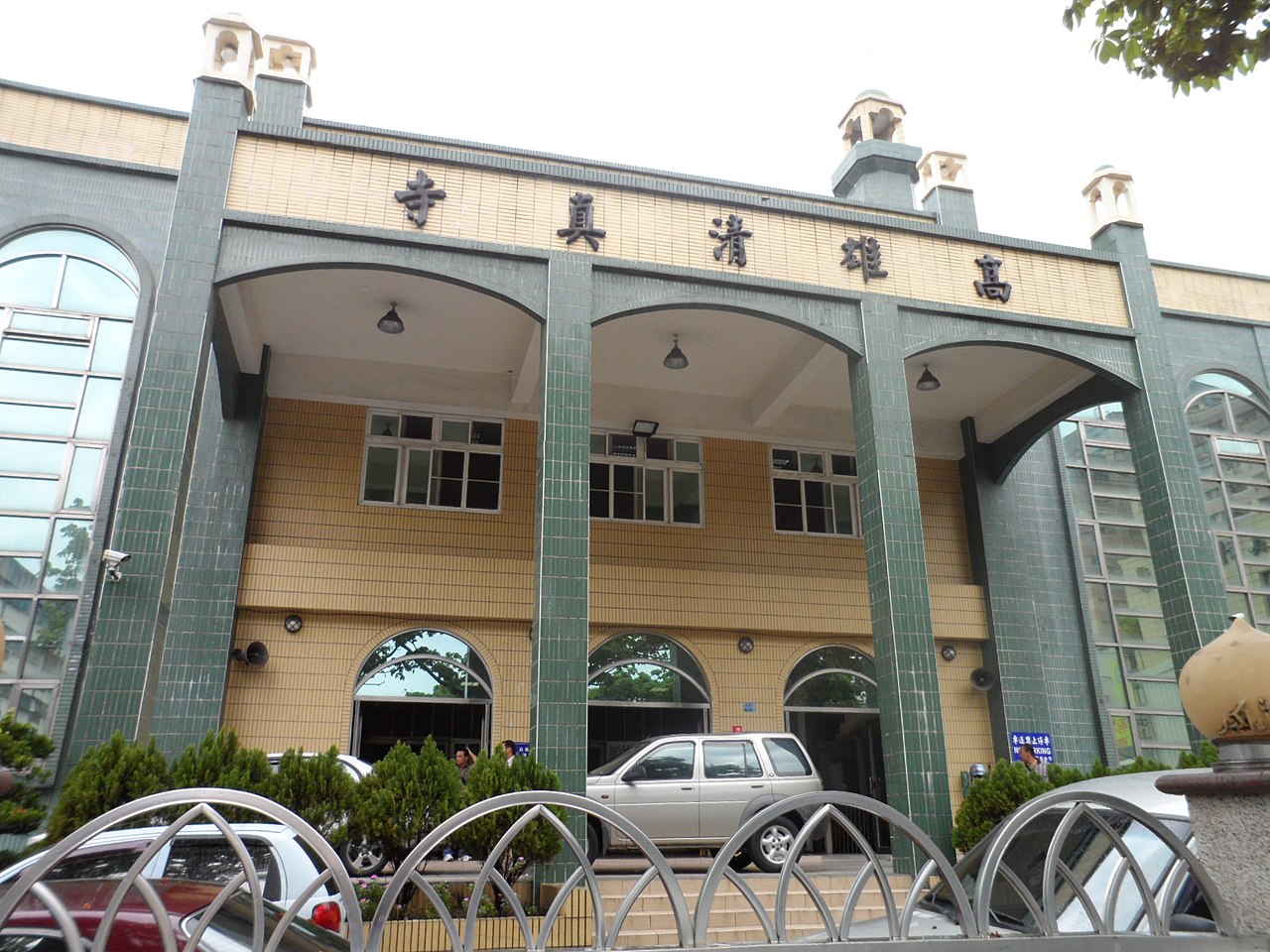
English: Kaohsiung Mosque, Lingya District, Kaohsiung, Taiwan 中文(臺灣):中華民囯高雄市苓雅區高雄清真寺 |
| Date | |
| Source | Own work |
| Author | Chongkian |
Licensing
I, the copyright holder of this work, hereby publish it under the following license:
This file is licensed under the
Creative Commons
Attribution-Share Alike 3.0 Unported license.
- You are free:
- to share – to copy, distribute and transmit the work
- to remix – to adapt the work
- Under the following conditions:
- attribution – You must give appropriate credit, provide a link to the license, and indicate if changes were made. You may do so in any reasonable manner, but not in any way that suggests the licensor endorses you or your use.
- share alike – If you remix, transform, or build upon the material, you must distribute your contributions under the same or compatible license as the original.
File history
Click on a date/time to view the file as it appeared at that time.
| Date/Time | Thumbnail | Dimensions | User | Comment | |
|---|---|---|---|---|---|
| current | 12:47, 5 April 2013 |
| 1,984 × 1,488 (1.31 MB) | Chongkian | User created page with UploadWizard |
File usage
The following pages on the English Wikipedia use this file (pages on other projects are not listed):
- An-Nur Tongkang Mosque
- At-Taqwa Mosque
- Baitul Muslimin Mosque
- Hualien Al-Falah Mosque
- Islam in Taiwan
- Kaohsiung
- Kaohsiung Mosque
- List of mosques
- List of mosques in Taiwan
- List of the oldest mosques
- Longgang Mosque
- Taichung Mosque
- Tainan Mosque
- Taipei Cultural Mosque
- Taipei Grand Mosque
- User:Czgsq
- Template:Mosques in Taiwan
Global file usage
The following other wikis use this file:
- Usage on ar.wikipedia.org
- Usage on arz.wikipedia.org
- Usage on bn.wikipedia.org
- Usage on de.wikiquote.org
- Usage on en.wikivoyage.org
- Usage on eo.wikiquote.org
- Usage on es.wikipedia.org
- Usage on fr.wikipedia.org
- Usage on ha.wikipedia.org
- Usage on hy.wikipedia.org
- Usage on id.wikipedia.org
- Usage on id.wikiquote.org
- Usage on id.wiktionary.org
- Usage on ja.wikipedia.org
- Usage on kbp.wikipedia.org
- Usage on ln.wikipedia.org
- Usage on ms.wikipedia.org
- Usage on nl.wikipedia.org
- Usage on pa.wikipedia.org
- Usage on sco.wikipedia.org
- Usage on sd.wikipedia.org
- Usage on simple.wikipedia.org
- Usage on sq.wikipedia.org
- Usage on th.wikipedia.org
- Usage on tr.wikipedia.org
- Usage on uk.wikipedia.org
- Usage on uz.wikipedia.org
- Usage on www.wikidata.org
- Usage on zh-min-nan.wikipedia.org
- Usage on zh.wikipedia.org