
Size of this preview:
800 × 600 pixels. Other resolutions:
320 × 240 pixels |
640 × 480 pixels |
1,024 × 768 pixels |
1,280 × 960 pixels |
1,600 × 1,200 pixels.
Original file (1,600 × 1,200 pixels, file size: 650 KB, MIME type: image/jpeg)
| This is a file from the
Wikimedia Commons. Information from its
description page there is shown below. Commons is a freely licensed media file repository. You can help. |
Summary
| Description |
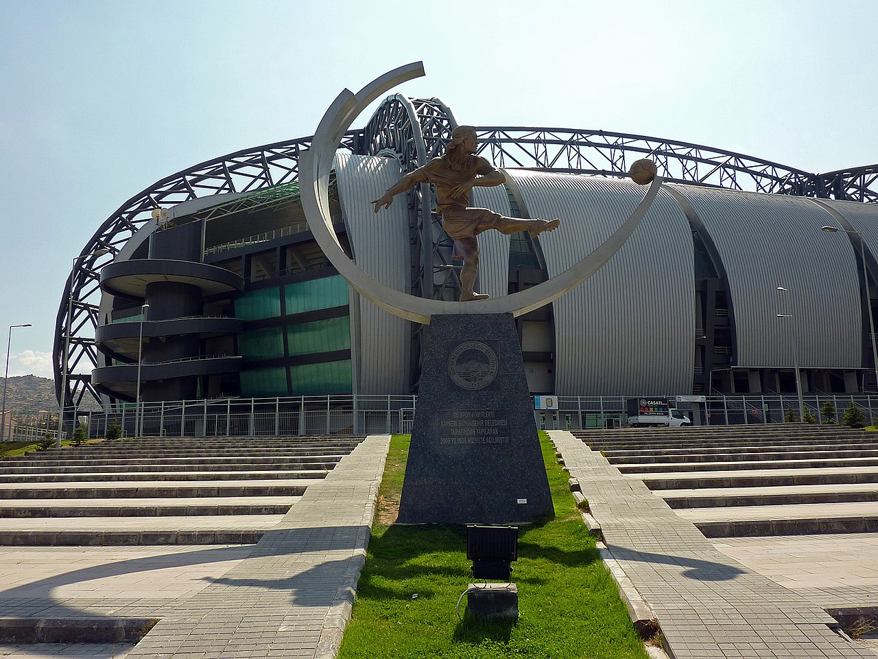
Deutsch: Kadir Has Stadion |
| Date | |
| Source | Self-photographed |
| Author | Turan Kaya |
| Camera location |
| View this and other nearby images on: OpenStreetMap |
|
|---|
Licensing

|
The
copyright holder of this work allows anyone to use it for any purpose including unrestricted redistribution, commercial use, and modification.
Usage notes:
|
Original upload log
Transferred from de.wikipedia to Commons by Wdwdbot using script bot_filetrans.pl.
The original description page was
here. All following user names refer to de.wikipedia.
- 2011-11-23 17:03:26 Turankaya74 (665430 Bytes) {{Information |Beschreibung = Kadir Has Stadion |Quelle = selbst aufgenommen |Urheber = Turan Kaya |Datum = 10.09.2011 |Genehmigung = |Andere Versionen = |Anmerkungen = }}
File history
Click on a date/time to view the file as it appeared at that time.
| Date/Time | Thumbnail | Dimensions | User | Comment | |
|---|---|---|---|---|---|
| current | 21:39, 18 December 2014 |
| 1,600 × 1,200 (650 KB) | Wdwdbot | Bot Move: Original uploader of this revision (#1) was Turankaya74 at de.wikipedia |
File usage
The following pages on the English Wikipedia use this file (pages on other projects are not listed):
Global file usage
The following other wikis use this file:
- Usage on es.wikipedia.org
- Usage on tr.wikipedia.org