
Size of this preview:
800 × 600 pixels. Other resolutions:
320 × 240 pixels |
640 × 480 pixels |
1,024 × 768 pixels |
1,280 × 960 pixels |
2,560 × 1,920 pixels |
3,072 × 2,304 pixels.
Original file (3,072 × 2,304 pixels, file size: 1.62 MB, MIME type: image/jpeg)
| This is a file from the
Wikimedia Commons. Information from its
description page there is shown below. Commons is a freely licensed media file repository. You can help. |
Summary
| Description | |
| Date | |
| Source | Own work |
| Author | Minnaert |
| Object location |
| View this and other nearby images on: OpenStreetMap |
|
|---|
Licensing
| This work has been released into the
public domain by its author, I,
Minnaert. This applies worldwide. In some countries this may not be legally possible; if so: I, Minnaert grants anyone the right to use this work for any purpose, without any conditions, unless such conditions are required by law. |
File history
Click on a date/time to view the file as it appeared at that time.
| Date/Time | Thumbnail | Dimensions | User | Comment | |
|---|---|---|---|---|---|
| current | 01:27, 4 July 2007 |
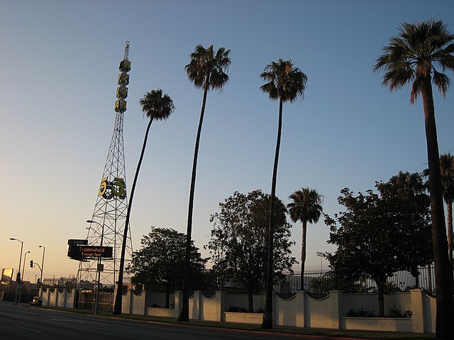
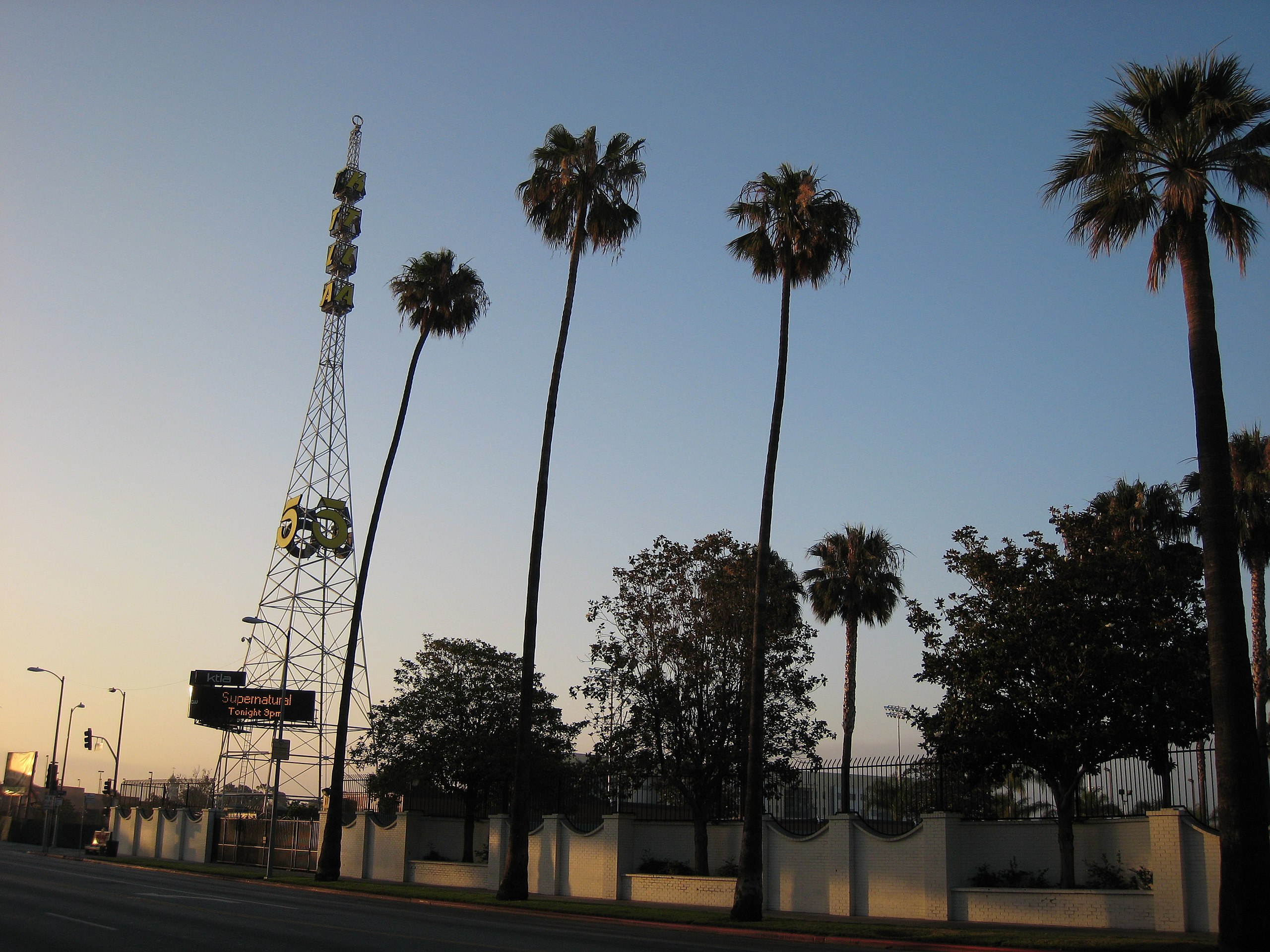
| 3,072 × 2,304 (1.62 MB) | Minnaert~commonswiki | {{Information |Description=KTLA tower and Tribune property on Sunset Boulevard in Hollywood, CA |Source=self-made |Date=2007-06-28 |Author= Minnaert }} |
File usage
The following pages on the English Wikipedia use this file (pages on other projects are not listed):
Global file usage
The following other wikis use this file: