
Original file (SVG file, nominally 1,134 × 546 pixels, file size: 58 KB)
| This is a file from the
Wikimedia Commons. Information from its
description page there is shown below. Commons is a freely licensed media file repository. You can help. |
| Description |
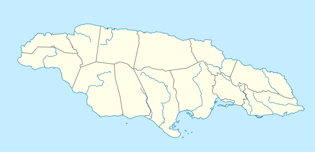
Deutsch: Positionskarte von
Jamaika
Quadratische Plattkarte, N-S-Streckung 105 %. Geographische Begrenzung der Karte:
English: Location map of
Jamaica
Equirectangular projection, N/S stretching 105 %. Geographic limits of the map:
|
|
| Date | 5 March 2009 (upload date) | |
| Source | own work, using United States National Imagery and Mapping Agency data | |
| Author | NordNordWest | |
| Permission ( Reusing this file) |
This file is licensed under the
Creative Commons
Attribution-Share Alike 3.0 Germany license.
 This file is licensed under the
Creative Commons
Attribution-Share Alike 3.0 Germany license.
|
|
| Other versions |
|


|
This map has been made or improved in the German
Kartenwerkstatt (Map Lab). You can
propose maps to improve as well.
|
File history
Click on a date/time to view the file as it appeared at that time.
| Date/Time | Thumbnail | Dimensions | User | Comment | |
|---|---|---|---|---|---|
| current | 09:39, 5 March 2009 |
| 1,134 × 546 (58 KB) | NordNordWest | {{Information |Description= {{de|Positionskarte von Jamaika}} Quadratische Plattkarte, N-S-Streckung 105 %. Geographische Begrenzung der Karte: * N: 18.7° N * S: 17.5° N * W: 78.5° W * O: 76.1° W {{en|Location map of [[:en:Jamaica|Jama |
File usage
More than 100 pages use this file. The following list shows the first 100 pages that use this file only. A full list is available.
- Above Rocks
- Accompong
- Alligator Pond
- Area codes 876 and 658
- Bad Hole Cave
- Balaclava, Jamaica
- Barking Lodge
- Belmont Cave
- Bethabara Moravian Church, Jamaica
- Black River, Jamaica
- Bluefields Beach
- Bob Marley Museum
- Boston Beach
- Cane River (Jamaica)
- Carambie Cave
- Cattawood Springs
- Chapelton, Jamaica
- Clarendon Park, Jamaica
- Cockpit Country
- Coffee River Cave
- Darliston
- Denham Town
- Doctor's Cave Beach Club
- Dry River (Jamaica)
- Duckenfield, Jamaica
- Dunn's Hole
- Elleston Wakeland Stadium
- Emmett Park
- Falmouth, Jamaica
- Flat Bridge
- Font Hill Beach
- Frankfield
- Frenchman's Cove Resort
- Glenmuir High School
- Goldeneye (estate)
- Gourie Cave
- Great River (Jamaica)
- Green Grotto Caves
- Green Island, Jamaica
- Guava River
- Gut River
- Hagley Gap
- Half Way Tree
- Hedonism Resorts
- Hellshire Beach
- Hutchinson's Hole
- Ian Fleming International Airport
- Jackson's Bay Cave
- Ken Jones Aerodrome
- Kettering, Jamaica
- Kingston Harbour
- Kintyre, Jamaica
- Linstead
- Mavis Bank
- May Pen
- Mico University College
- Mona, Jamaica
- Moneague
- Montego Bay
- Morant Bay
- Morant Point
- Morgans Pond Hole
- Mouth Maze Cave
- Nanny Town
- Negril
- Negril Aerodrome
- Nine Mile, Jamaica
- Norman Manley International Airport
- Northern Caribbean University
- Ocean View Beach
- Ocho Rios
- Old Pera, Jamaica
- One Eye River
- Oxford Cave, Jamaica
- Palmers Cross
- Petersfield, Jamaica
- Port Maria
- Port Royal
- Portland Point
- Portmore, Saint Catherine
- Potosi, Trelawny, Jamaica
- Prison Oval
- Richmond, Jamaica
- Roxborough, Manchester
- Sandy Bay, Jamaica
- Sangster International Airport
- Smokey Hole Cave
- South Negril Point
- South Negril River
- Spanish Town
- The Enchanted Gardens, Jamaica
- Tinson Pen Aerodrome
- Treasure Beach
- Trelawny Stadium
- Trenchtown
- Tryall Golf Club
- Up-Park Camp
- Vernam Field
- Whitehouse Beach
- Windsor Great Cave
View more links to this file.
Global file usage
The following other wikis use this file:
- Usage on af.wikipedia.org
- Usage on an.wikipedia.org
- Usage on ar.wikipedia.org
- Usage on arz.wikipedia.org
- Usage on ast.wikipedia.org
- Usage on az.wikipedia.org
- Usage on be.wikipedia.org
- Usage on bg.wikipedia.org
- Usage on bn.wikipedia.org
- Usage on bs.wikipedia.org
- Usage on ca.wikipedia.org
- Usage on ceb.wikipedia.org
View more global usage of this file.