
Size of this preview:
800 × 599 pixels. Other resolutions:
320 × 240 pixels |
640 × 479 pixels |
1,024 × 767 pixels |
1,280 × 959 pixels |
2,560 × 1,917 pixels |
3,207 × 2,402 pixels.
Original file (3,207 × 2,402 pixels, file size: 780 KB, MIME type: image/jpeg)
| This is a file from the
Wikimedia Commons. Information from its
description page there is shown below. Commons is a freely licensed media file repository. You can help. |
Summary
| Description |
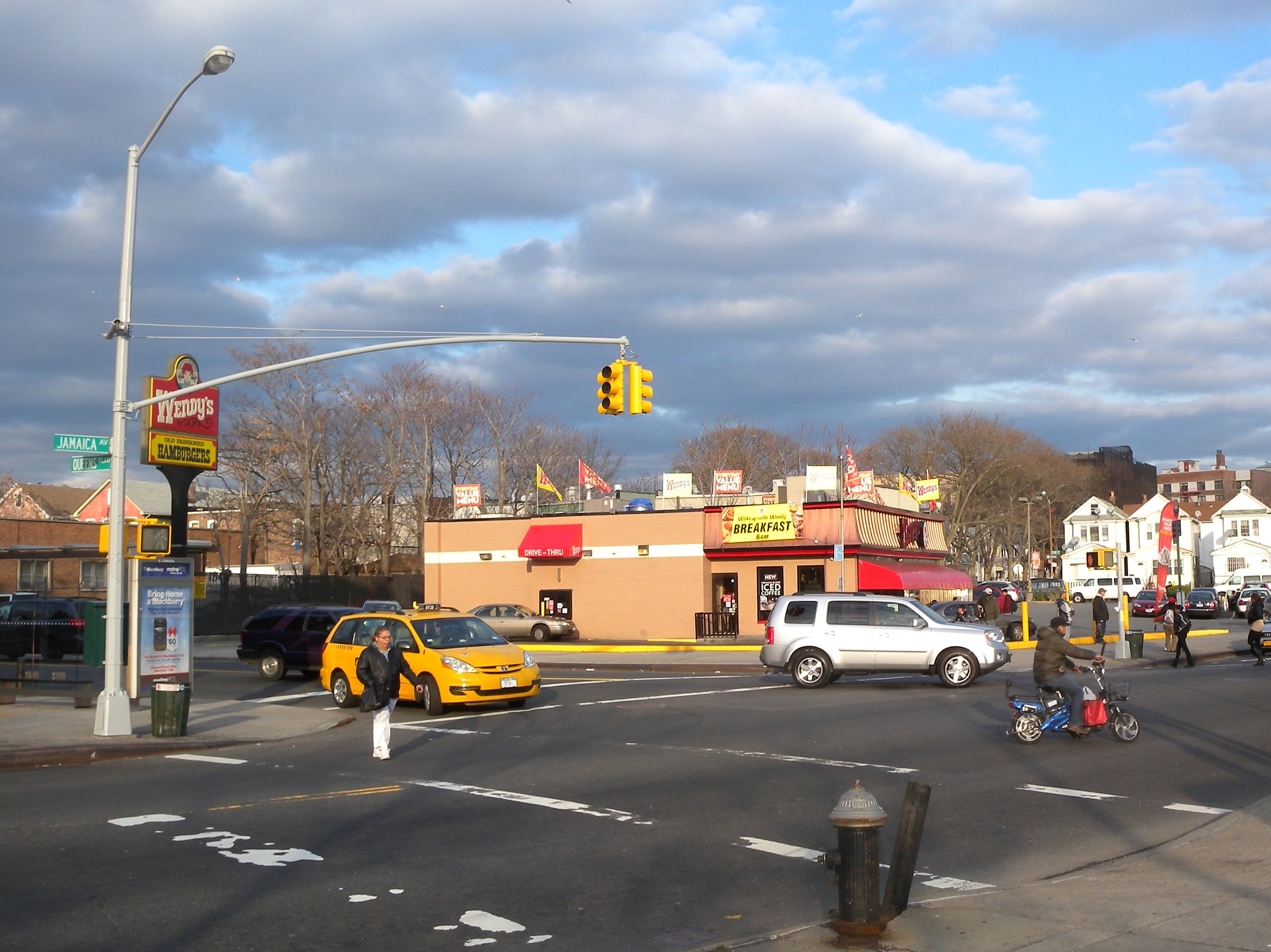
English: Looking northeast across Jamaica Avenue at south end of Queens Boulevard on a mostly cloudy afternoon. |
| Date | Taken on 22 December 2011 |
| Source | Own work |
| Author | Jim.henderson |
| Camera location | | View this and other nearby images on: OpenStreetMap |
|
|---|
Licensing
I, the copyright holder of this work, hereby publish it under the following license:
| This file is made available under the Creative Commons CC0 1.0 Universal Public Domain Dedication. | |
| The person who associated a work with this deed has dedicated the work to the
public domain by waiving all of their rights to the work worldwide under copyright law, including all related and neighboring rights, to the extent allowed by law. You can copy, modify, distribute and perform the work, even for commercial purposes, all without asking permission.
|
File history
Click on a date/time to view the file as it appeared at that time.
| Date/Time | Thumbnail | Dimensions | User | Comment | |
|---|---|---|---|---|---|
| current | 14:22, 9 January 2012 |
| 3,207 × 2,402 (780 KB) | Jim.henderson |
File usage
The following pages on the English Wikipedia use this file (pages on other projects are not listed):
Global file usage
The following other wikis use this file:
- Usage on es.wikipedia.org
- Usage on fr.wikipedia.org
- Usage on ru.wikipedia.org
- Usage on www.wikidata.org
- Usage on zh.wikipedia.org