
Size of this preview:
800 × 532 pixels. Other resolutions:
320 × 213 pixels |
640 × 426 pixels |
1,024 × 681 pixels |
1,280 × 851 pixels |
2,560 × 1,702 pixels |
6,016 × 4,000 pixels.
Original file (6,016 × 4,000 pixels, file size: 6.29 MB, MIME type: image/jpeg)
| This is a file from the
Wikimedia Commons. Information from its
description page there is shown below. Commons is a freely licensed media file repository. You can help. |
|
This is an image of a place or building that is listed on the
National Register of Historic Places in the
United States of America. Its reference number is
78002039. |
| Camera location |
| View this and other nearby images on: OpenStreetMap |
|
|---|
| Description |
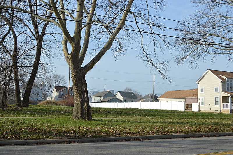
English: Open land on the western side of the 2200 block of E. Fortieth Street in
Cleveland,
Ohio,
United States. This was formerly the site of the
Jacob Goldsmith House, which was listed on the
National Register of Historic Places in 1978; although destroyed, it has not yet been removed from the Register. |
||
| Date | Taken on 15 December 2014 | ||
| Source | Own work | ||
| Author | Nyttend | ||
| Permission ( Reusing this file) |
|
File history
Click on a date/time to view the file as it appeared at that time.
| Date/Time | Thumbnail | Dimensions | User | Comment | |
|---|---|---|---|---|---|
| current | 05:26, 25 December 2014 |
| 6,016 × 4,000 (6.29 MB) | Nyttend | {{NRHP|78002039}} {{Location|41|29|54|N|81|39|26|W}} {{Information |Description={{en|Open land on the western side of the 2200 block of E. Fortieth Street in {{w|Cleveland}}, {{w|Ohio}}, {{w|United States}}. This was formerly the site of the {{w|Jacob... |
File usage
The following pages on the English Wikipedia use this file (pages on other projects are not listed):