
Size of this preview:
800 × 599 pixels. Other resolutions:
320 × 239 pixels |
640 × 479 pixels |
1,024 × 766 pixels |
1,280 × 958 pixels |
2,288 × 1,712 pixels.
Original file (2,288 × 1,712 pixels, file size: 1.24 MB, MIME type: image/jpeg)
| This is a file from the
Wikimedia Commons. Information from its
description page there is shown below. Commons is a freely licensed media file repository. You can help. |
Summary
| Description |
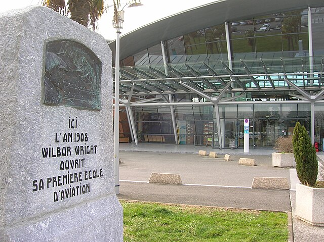
Français : Stèle au nom de la première école au monde de pilotage, Aéroport de Pau, France |
| Date | |
| Source | Own work |
| Author | Louis.delalonde |
| Camera location |
| View this and other nearby images on: OpenStreetMap |
|
|---|
Licensing
| I, the copyright holder of this work, release this work into the
public domain. This applies worldwide. In some countries this may not be legally possible; if so: I grant anyone the right to use this work for any purpose, without any conditions, unless such conditions are required by law. |
File history
Click on a date/time to view the file as it appeared at that time.
| Date/Time | Thumbnail | Dimensions | User | Comment | |
|---|---|---|---|---|---|
| current | 22:31, 21 March 2009 |
| 2,288 × 1,712 (1.24 MB) | Louis.delalonde | {{Information |Description={{fr|1=Stèle au nom de la première école au monde de pilotage, Aéroport de Pau, France}} |Source=travail personnel (own work) |Author= Louis.delalonde |Date=2009.02.17 |Permission= |other_versions= }} |
File usage
The following pages on the English Wikipedia use this file (pages on other projects are not listed):
Global file usage
The following other wikis use this file:
- Usage on ca.wikipedia.org
- Usage on fr.wikipedia.org
- Usage on hy.wikipedia.org