Size of this preview:
481 × 599 pixels. Other resolutions:
192 × 240 pixels |
385 × 480 pixels |
616 × 768 pixels |
822 × 1,024 pixels |
1,450 × 1,807 pixels.
Original file (1,450 × 1,807 pixels, file size: 1.55 MB, MIME type: image/png)
| This is a file from the
Wikimedia Commons. Information from its
description page there is shown below. Commons is a freely licensed media file repository. You can help. |
| Description |
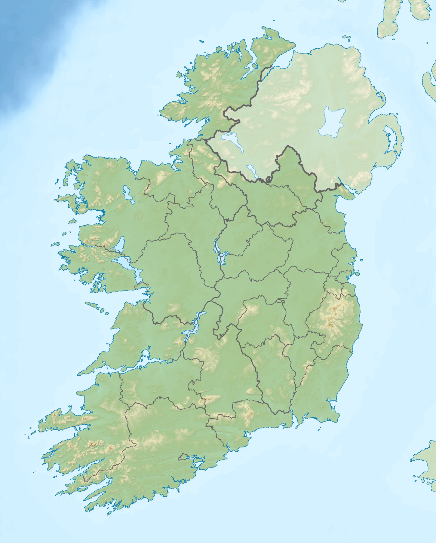
Relief location map of Ireland Equirectangular map projection on WGS 84 datum, with N/S stretched 170% Geographic limits:
|
| Date | |
| Source |
Shuttle Radar Topography Mission
National Geospatial-Intelligence Agency
File:Ireland location map.svg: NordNordWest
|
| Author | Nilfanion |
| Permission ( Reusing this file) |
This file is licensed under the
Creative Commons
Attribution-Share Alike 3.0 Unported license.
|
| Other versions |
.png)

File history
Click on a date/time to view the file as it appeared at that time.
| Date/Time | Thumbnail | Dimensions | User | Comment | |
|---|---|---|---|---|---|
| current | 08:32, 24 August 2020 |
| 1,450 × 1,807 (1.55 MB) | Jacobfrid | Reverted to version as of 12:29, 12 September 2014 (UTC) |
| 12:17, 23 August 2020 |
 | 324 × 280 (90 KB) | Jacobfrid | Cropped 78 % horizontally, 85 % vertically using CropTool with precise mode. | |
| 12:29, 12 September 2014 |
 | 1,450 × 1,807 (1.55 MB) | NordNordWest | Local Government Reform Act 2014 | |
| 00:02, 23 October 2012 |
 | 1,450 × 1,807 (1.56 MB) | Nilfanion | Fix UK shading nr Londonderry | |
| 22:43, 15 April 2012 |
 | 1,450 × 1,807 (1.56 MB) | Nilfanion | {{Information |Description=Relief map of Ireland Equirectangular map projection on WGS 84 datum, with N/S stretched 170% Geographic limits: *West: 11.0° W *East: 5.0° W *North: 55.6° N *South: 51.2° N |Source= [[w:Shuttle Radar Topo... |
File usage
More than 100 pages use this file. The following list shows the first 100 pages that use this file only. A full list is available.
- 2006 Ryder Cup
- Ballyhoura Mountains
- Banagher
- Battle of Aughrim
- Battle of Curlew Pass
- Battle of Glenmama
- Battle of Julianstown
- Battle of Kilrush
- Battle of Knocknaclashy
- Battle of Liscarroll
- Battle of Macroom
- Battle of Prosperous
- Battle of Rathmines
- Battle of Áth an Chip
- Birr Castle
- Blue Stack Mountains
- Bray, County Wicklow
- Bray Head
- Brú na Bóinne
- Caha Mountains
- Carrowmore
- Carton House
- Cavan
- Cliffs of Moher
- Clostoken
- Cork Harbour
- Croagh Patrick
- Devilsmother
- Dowth
- Drogheda
- Dublin
- Dundalk
- Ennis
- Errigal
- First Battle of Athenry
- Forty Foot
- Galway
- Galway Bay
- Gap of Dunloe
- Geography of Ireland
- Gibbet Rath executions
- Glencree
- Glenmalure
- Glenveagh
- Gyles' Quay
- Hook Head
- Hungry Hill
- Irish Rebellion of 1641
- Irish Senior Open
- Kilkenny
- Killarney
- Killarney National Park
- Kilmichael ambush
- Knockmealdown
- Knowth
- Lady's Island Lake
- Lakes of Killarney
- Lia Fáil
- Limerick
- Liscannor Bay
- List of national parks of the Republic of Ireland
- List of stadiums in Ireland by capacity
- Lough Conn
- Lough Corrib
- Lough Dan
- Lough Derravaragh
- Lough Gowna
- Lough Leane
- Lough Mahon
- Lough Mask
- Lough Ree
- Macroom
- Michael Jones (soldier)
- Muckish
- Mullaghareirk Mountains
- Navan
- Newbridge, County Kildare
- Sack of Wexford
- Sean Kelly (cyclist)
- Shannon Pot
- Shannon hydroelectric scheme
- Siege of Clonmel
- Siege of Drogheda
- Siege of Galway
- Siege of Waterford
- Sieges of Galway
- Slieve League
- Sligo
- Sligo Abbey
- St Patrick's Purgatory
- St Tiernach's Park
- Swords, Dublin
- The Burren
- The Curragh
- Tralee
- Twelve Bens
- Waterford
- Westport, County Mayo
- Wexford
- Wild Nephin National Park
View more links to this file.
Global file usage
The following other wikis use this file:
- Usage on als.wikipedia.org
- Usage on am.wikipedia.org
- Usage on ar.wikipedia.org
- Usage on ast.wikipedia.org
- Usage on azb.wikipedia.org
- Usage on ban.wikipedia.org
- Usage on ba.wikipedia.org
- Usage on be-tarask.wikipedia.org
- Usage on bn.wikipedia.org
- Usage on br.wikipedia.org
- Usage on bs.wikipedia.org
- Usage on bxr.wikipedia.org
- Usage on ca.wikipedia.org
- Usage on ceb.wikipedia.org
- Usage on cs.wikipedia.org
- Usage on cv.wikipedia.org
View more global usage of this file.