
Size of this preview:
637 × 599 pixels. Other resolutions:
255 × 240 pixels |
510 × 480 pixels |
816 × 768 pixels |
1,088 × 1,024 pixels |
2,176 × 2,048 pixels |
3,560 × 3,350 pixels.
Original file (3,560 × 3,350 pixels, file size: 5.14 MB, MIME type: image/jpeg)
| This is a file from the
Wikimedia Commons. Information from its
description page there is shown below. Commons is a freely licensed media file repository. You can help. |
Summary
|
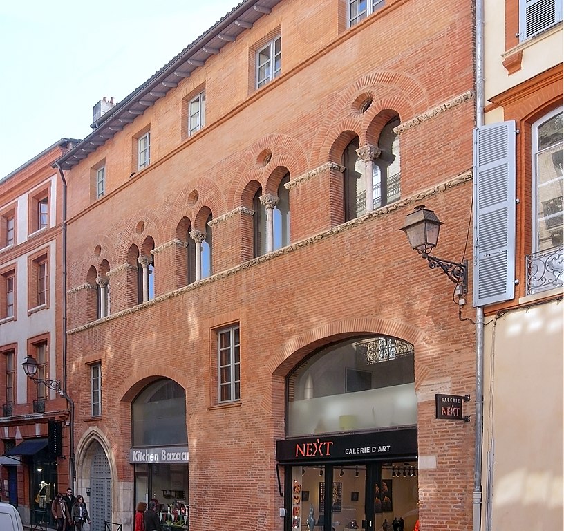
Building called Maison romano-gothique in Toulouse. Facade on rue Croix-Bragnon. | |||||||||||||||||||||
|
Summary
| |||||||||||||||||||||


| Annotations | This image is annotated: View the annotations at Commons |
File history
Click on a date/time to view the file as it appeared at that time.
| Date/Time | Thumbnail | Dimensions | User | Comment | |
|---|---|---|---|---|---|
| current | 13:04, 30 July 2014 |
| 3,560 × 3,350 (5.14 MB) | Archaeodontosaurus | {{Information |Description ={{en|1=c}} |Source ={{own}} |Author = Archaeodontosaurus |Date = |Permission = |other_versions = }} |
File usage
The following pages on the English Wikipedia use this file (pages on other projects are not listed):
Global file usage
The following other wikis use this file:
- Usage on ca.wikipedia.org
- Usage on de.wikipedia.org
- Usage on es.wikipedia.org
- Usage on fr.wikipedia.org
- Usage on www.wikidata.org