
Size of this preview:
474 × 599 pixels. Other resolutions:
190 × 240 pixels |
380 × 480 pixels |
680 × 859 pixels.
Original file (680 × 859 pixels, file size: 20 KB, MIME type: image/gif)
| This is a file from the
Wikimedia Commons. Information from its
description page there is shown below. Commons is a freely licensed media file repository. You can help. |
Summary
| Description |
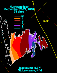
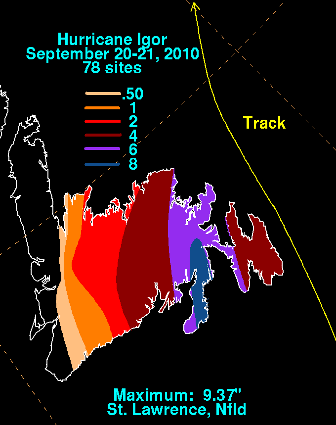
English: Storm total rainfall map of
Hurricane Igor during September 2010. |
|||
| Date | ||||
| Source | WPC tropical cyclone rainfall data | |||
| Author | David Roth, Weather Prediction Center, Camp Springs, Maryland | |||
| Permission ( Reusing this file) |
|
File history
Click on a date/time to view the file as it appeared at that time.
| Date/Time | Thumbnail | Dimensions | User | Comment | |
|---|---|---|---|---|---|
| current | 17:36, 10 March 2011 |
| 680 × 859 (20 KB) | Cyclonebiskit | newer version |
| 17:57, 12 October 2010 |
 | 680 × 859 (22 KB) | Cyclonebiskit | {{Information |Description={{en|1=A large area of low pressure emerged from the African continent on September 6th. The system organized within a favorable upper level environment, becoming a tropical depression, then tropical storm, on the 8th. A secon |
File usage
The following pages on the English Wikipedia use this file (pages on other projects are not listed):
Global file usage
The following other wikis use this file:
- Usage on es.wikipedia.org
- Usage on ko.wikipedia.org