Size of this preview:
763 × 600 pixels. Other resolutions:
306 × 240 pixels |
611 × 480 pixels |
971 × 763 pixels.
Original file (971 × 763 pixels, file size: 98 KB, MIME type: image/jpeg)
| This is a file from the
Wikimedia Commons. Information from its
description page there is shown below. Commons is a freely licensed media file repository. You can help. |
Summary
| Description |
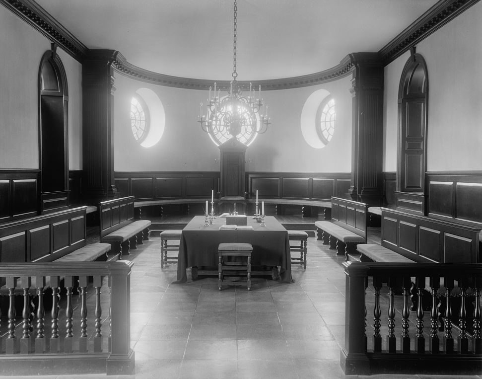
English: Black and white photographic view of the chamber of the House of Burgesses in the Capitol at Williamsburg, Virginia, James City County, by the American photographer and photojournalist Frances Benjamin Johnston. Dated ca. 1930-1939. From the archives of Frances Benjamin Johnston, which she donated to the Library of Congress in perpetuity, hence there are no restrictions on publication, as per the Library of Congress website. Image courtesy of the Prints and Photographs Division, Library of Congress, Washington, D.C.
|
||||||||||||||||||||||||||
| Date | |||||||||||||||||||||||||||
| Source | Prints and Photographs Division, Library of Congress [1] | ||||||||||||||||||||||||||
| Author |
|
||||||||||||||||||||||||||

| Object location |
| View this and other nearby images on: OpenStreetMap |
|
|---|
Licensing
This work is in the
public domain in the United States because it is a
work prepared by an officer or employee of the United States Government as part of that person’s official duties under the terms of
Title 17, Chapter 1, Section 105 of the
US Code.
Note: This only applies to original works of the Federal Government and not to the work of any individual
U.S. state,
territory, commonwealth, county, municipality, or any other subdivision. This template also does not apply to postage stamp designs published by the
United States Postal Service
since 1978. (See §
313.6(C)(1) of Compendium of U.S. Copyright Office Practices). It also does not apply to certain US coins; see
The US Mint Terms of Use.
|
 | |
| This file has been identified as being free of known restrictions under copyright law, including all related and neighboring rights. | ||
File history
Click on a date/time to view the file as it appeared at that time.
| Date/Time | Thumbnail | Dimensions | User | Comment | |
|---|---|---|---|---|---|
| current | 21:18, 18 June 2011 |
| 971 × 763 (98 KB) | Cropbot | upload cropped version, operated by User:Finavon. Summary: border cropped |
| 00:51, 13 June 2011 |
 | 1,024 × 826 (103 KB) | MarmadukePercy |
File usage
The following pages on the English Wikipedia use this file (pages on other projects are not listed):
Global file usage
The following other wikis use this file:
- Usage on ar.wikipedia.org
- Usage on es.wikipedia.org
- Usage on he.wikipedia.org
- Usage on it.wikipedia.org
- Usage on ru.wikipedia.org
- Usage on zh.wikipedia.org