Size of this preview:
800 × 527 pixels. Other resolutions:
320 × 211 pixels |
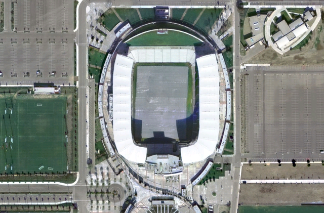
640 × 421 pixels |
992 × 653 pixels.
Original file (992 × 653 pixels, file size: 1.01 MB, MIME type: image/png)
| This is a file from the
Wikimedia Commons. Information from its
description page there is shown below. Commons is a freely licensed media file repository. You can help. |
Summary
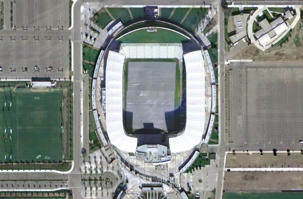
| Description | Homedepotcenter |
| Date | 23 September 2006 (upload date) |
| Source |
|
| Author | NASA |
| Object location |
| View this and other nearby images on: OpenStreetMap |
|
|---|
Licensing
| This image is in the
public domain because it is a screenshot from
NASA’s globe software
World Wind using a public domain layer, such as Blue Marble, MODIS, Landsat, SRTM, USGS or GLOBE.
|
 |
File history
Click on a date/time to view the file as it appeared at that time.
| Date/Time | Thumbnail | Dimensions | User | Comment | |
|---|---|---|---|---|---|
| current | 05:26, 30 October 2006 |
| 992 × 653 (1.01 MB) | UCinternational | {{Information||Description =23 septembre 2006 à 12:49 . . Betp . . 992×653 (1 061 002 octets) ''(nasa world wind 1.3.5 <nowiki>==Licence== {{Domaine public NASA}}</nowiki>)'' |Source = Originally from [http://fr.wikipedia.org/ f |
File usage
The following pages on the English Wikipedia use this file (pages on other projects are not listed):
Global file usage
The following other wikis use this file:
- Usage on fr.wikipedia.org
- Usage on no.wikipedia.org
- Usage on pt.wikipedia.org
- Usage on vi.wikipedia.org