Size of this preview:
800 × 184 pixels. Other resolutions:
320 × 73 pixels |
640 × 147 pixels |
1,024 × 235 pixels |
1,280 × 294 pixels |
6,259 × 1,436 pixels.
Original file (6,259 × 1,436 pixels, file size: 6.06 MB, MIME type: image/jpeg)
| This is a file from the
Wikimedia Commons. Information from its
description page there is shown below. Commons is a freely licensed media file repository. You can help. |
Summary
| Description |
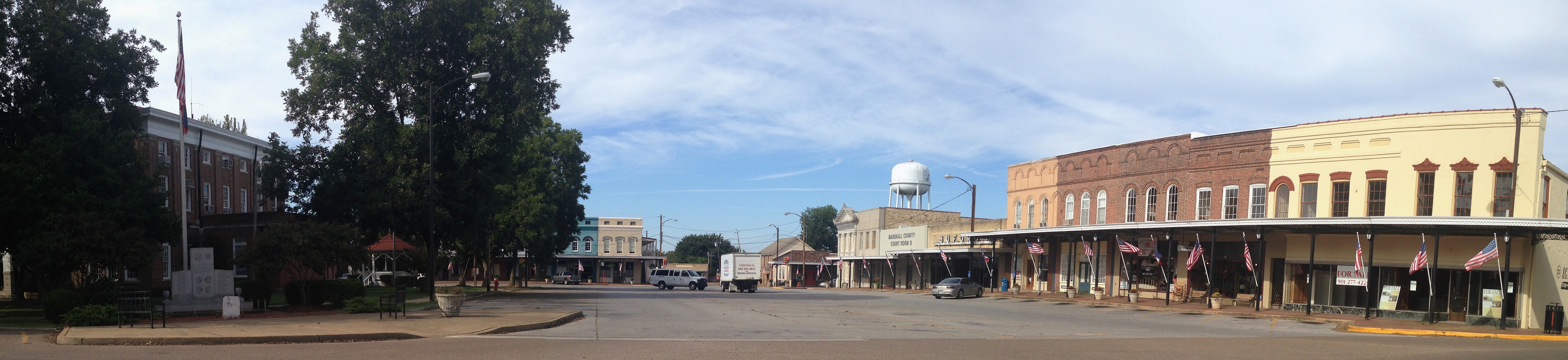
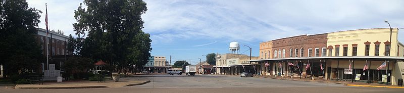
English: Downtown Holly Springs, Mississippi. This is part of the Holly Springs Courthouse Square Historic District.
|
||
| Date | |||
| Source | Own work | ||
| Author | Fredlyfish4 |
| Camera location | | View this and other nearby images on: OpenStreetMap |
|
|---|
Licensing
I, the copyright holder of this work, hereby publish it under the following license:
This file is licensed under the
Creative Commons
Attribution-Share Alike 3.0 Unported license.
- You are free:
- to share – to copy, distribute and transmit the work
- to remix – to adapt the work
- Under the following conditions:
- attribution – You must give appropriate credit, provide a link to the license, and indicate if changes were made. You may do so in any reasonable manner, but not in any way that suggests the licensor endorses you or your use.
- share alike – If you remix, transform, or build upon the material, you must distribute your contributions under the same or compatible license as the original.
| File created by Fredlyfish4 |
|
| Permission is granted for use under
CC BY-SA 4.0 (or a similar license) for this file created by the author.
Please let the author know if you use this work outside of Wikimedia projects by sending an email to
|

|
This image was uploaded as part of
Wikipedia Summer of Monuments.
|
 |
File history
Click on a date/time to view the file as it appeared at that time.
| Date/Time | Thumbnail | Dimensions | User | Comment | |
|---|---|---|---|---|---|
| current | 00:53, 15 September 2014 |
| 6,259 × 1,436 (6.06 MB) | Magnolia677 | cropped |
| 23:33, 14 September 2014 |
| 6,259 × 1,631 (5.75 MB) | Fredlyfish4 | User created page with UploadWizard |
File usage
The following pages on the English Wikipedia use this file (pages on other projects are not listed):