Size of this preview:
800 × 489 pixels. Other resolutions:
320 × 196 pixels |
640 × 392 pixels |
1,024 × 627 pixels |
1,280 × 783 pixels |
2,560 × 1,566 pixels |
4,287 × 2,623 pixels.
Original file (4,287 × 2,623 pixels, file size: 5.66 MB, MIME type: image/jpeg)
| This is a file from the
Wikimedia Commons. Information from its
description page there is shown below. Commons is a freely licensed media file repository. You can help. |
Summary
| Description |
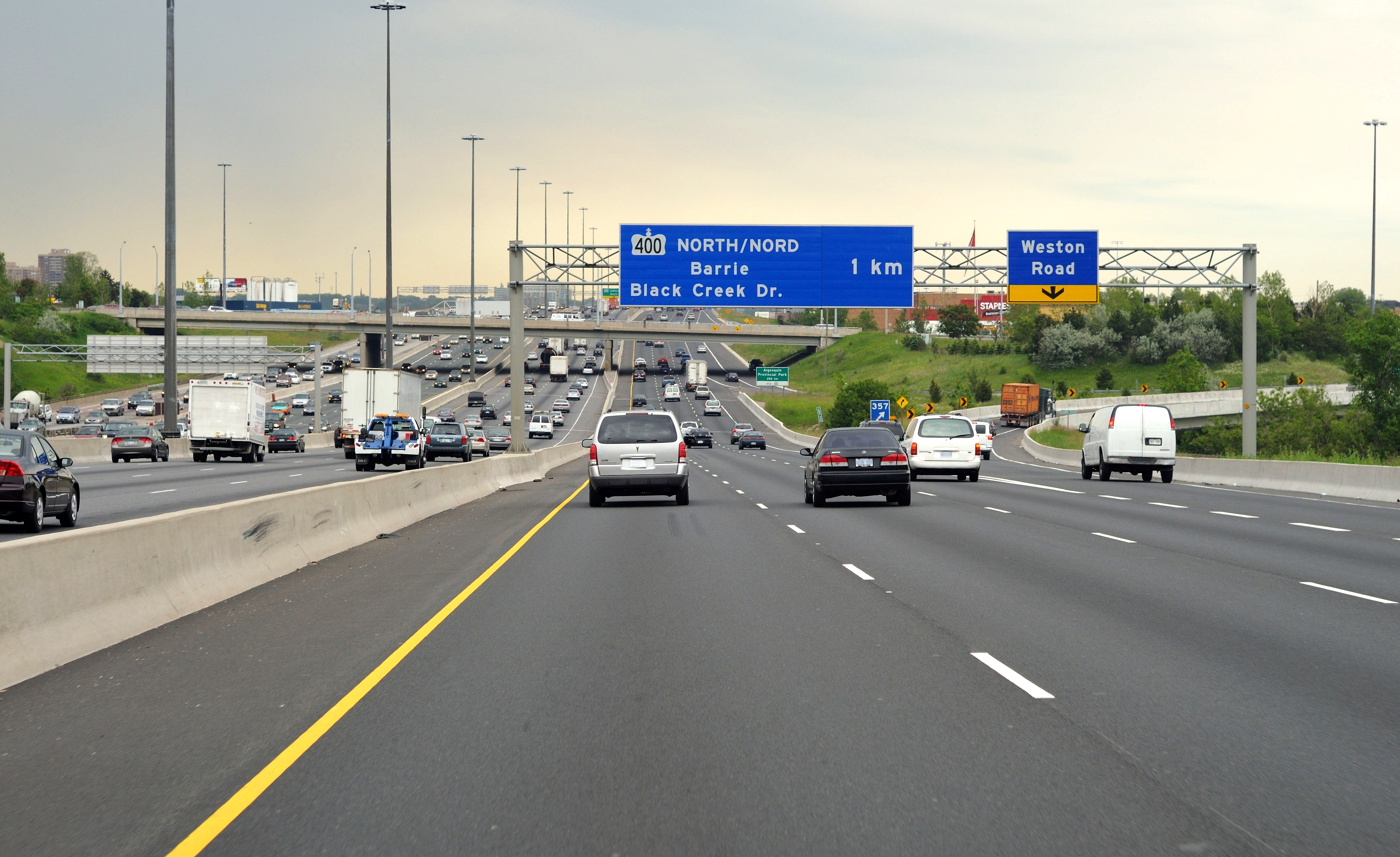
English: High quality image of eastbound Highway 401 at Weston Road in the collector lanes. |
| Date | |
| Source | Truvelo |
| Author | James Bancroft (Truvelo) |
| Permission ( Reusing this file) |
Given by creator to use on Wikipedia. |
| Camera location |
| View this and other nearby images on: OpenStreetMap |
|
|---|
| Object location |
| View this and other nearby images on: OpenStreetMap |
|
|---|
Licensing
This file is licensed under the
Creative Commons
Attribution 1.0 Generic license.
Attribution: James Bancroft
- You are free:
- to share – to copy, distribute and transmit the work
- to remix – to adapt the work
- Under the following conditions:
- attribution – You must give appropriate credit, provide a link to the license, and indicate if changes were made. You may do so in any reasonable manner, but not in any way that suggests the licensor endorses you or your use.
File history
Click on a date/time to view the file as it appeared at that time.
| Date/Time | Thumbnail | Dimensions | User | Comment | |
|---|---|---|---|---|---|
| current | 15:44, 18 May 2010 |
| 4,287 × 2,623 (5.66 MB) | Haljackey | Final version edited and adjusted. |
| 15:40, 18 May 2010 |
 | 3,745 × 2,848 (4.34 MB) | Haljackey | Final version. | |
| 19:33, 17 May 2010 |
 | 4,288 × 2,848 (1.37 MB) | Haljackey | Back to original for now | |
| 15:49, 17 May 2010 |
 | 4,288 × 2,848 (3.42 MB) | Floydian | Licence plates blurred | |
| 05:43, 17 May 2010 |
 | 4,288 × 2,848 (1.37 MB) | Haljackey | Reverted to original for now. | |
| 22:28, 10 May 2010 |
 | 4,288 × 2,633 (5.61 MB) | Haljackey | slightly smaller filesize. | |
| 22:03, 10 May 2010 |
 | 4,288 × 2,641 (5.84 MB) | Haljackey | slightly cleaner | |
| 21:57, 10 May 2010 |
 | 4,288 × 2,641 (4.64 MB) | Haljackey | slightly less sky | |
| 16:25, 22 April 2010 |
 | 4,288 × 2,848 (1.37 MB) | Haljackey | {{Information |Description={{en|1=High quality image of westbound Highway 401 at Weston Road in the collector lanes.}} |Source=Truvelo |Author=Truvelo |Date= |Permission=Given by creator to use on Wikipedia. |other_versions= }} |
File usage
The following pages on the English Wikipedia use this file (pages on other projects are not listed):