
Size of this PNG preview of this SVG file:
600 × 600 pixels. Other resolutions:
240 × 240 pixels |
480 × 480 pixels |
768 × 768 pixels |
1,024 × 1,024 pixels |
2,048 × 2,048 pixels |
1,400 × 1,400 pixels.
Original file (SVG file, nominally 1,400 × 1,400 pixels, file size: 75 KB)
| This is a file from the
Wikimedia Commons. Information from its
description page there is shown below. Commons is a freely licensed media file repository. You can help. |
Summary
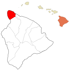
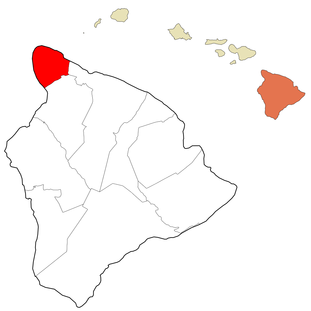
| Description | Map of Hawaii County districts; North Kohala highlighted |
| Date | (UTC) |
| Source | [1] ( [2]) Data from Hawaiian Government] |
| Author | Sn1per ( talk) |
| Other versions |
Derived from: |
| SVG development |

.svg)
Licensing
| I, the copyright holder of this work, release this work into the
public domain. This applies worldwide. In some countries this may not be legally possible; if so: I grant anyone the right to use this work for any purpose, without any conditions, unless such conditions are required by law. |
File history
Click on a date/time to view the file as it appeared at that time.
| Date/Time | Thumbnail | Dimensions | User | Comment | |
|---|---|---|---|---|---|
| current | 10:39, 1 April 2012 |
| 1,400 × 1,400 (75 KB) | Rémih | better precision of limits |
| 20:13, 20 December 2011 |
 | 629 × 490 (269 KB) | Sn1per |
File usage
The following pages on the English Wikipedia use this file (pages on other projects are not listed):
Global file usage
The following other wikis use this file:
- Usage on fr.wikipedia.org
- Usage on it.wikipedia.org
- Usage on ja.wikipedia.org
- Usage on www.wikidata.org