
Size of this preview:
800 × 551 pixels. Other resolutions:
320 × 220 pixels |
640 × 441 pixels |
1,024 × 705 pixels |
1,280 × 881 pixels |
2,890 × 1,990 pixels.
Original file (2,890 × 1,990 pixels, file size: 673 KB, MIME type: image/jpeg)
| This is a file from the
Wikimedia Commons. Information from its
description page there is shown below. Commons is a freely licensed media file repository. You can help. |
Summary
| Description |
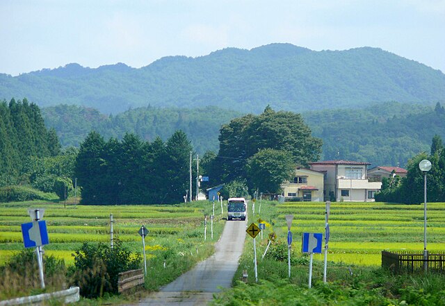
English: JR Bus Kanto Hakuhou Line(Fukushima prefecture, Japan).
日本語:
白棚線を走るJRバス関東の白河行きの路線バス。温泉口~番沢の間にて撮影。 |
| Date | |
| Source | Own work |
| Author | まも |
| Camera location |
| View this and other nearby images on: OpenStreetMap |
|
|---|
Licensing
| I, the copyright holder of this work, release this work into the
public domain. This applies worldwide. In some countries this may not be legally possible; if so: I grant anyone the right to use this work for any purpose, without any conditions, unless such conditions are required by law. |
File history
Click on a date/time to view the file as it appeared at that time.
| Date/Time | Thumbnail | Dimensions | User | Comment | |
|---|---|---|---|---|---|
| current | 12:34, 12 January 2011 |
| 2,890 × 1,990 (673 KB) | まも | == {{int:filedesc}} == {{Information |Description= {{en| JR Bus Kanto Hakuhou Line(Fukushima prefecture, Japan).}} {{ja| 白棚線を走るJRバス関東の白河行きの路線バス。温泉口~番沢の間にて撮影。}} |Sourc |
File usage
The following pages on the English Wikipedia use this file (pages on other projects are not listed):
Global file usage
The following other wikis use this file: